Kauai, Hawaii, 2 March 2015
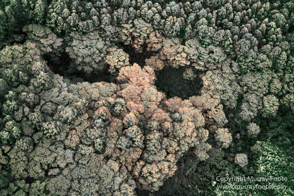
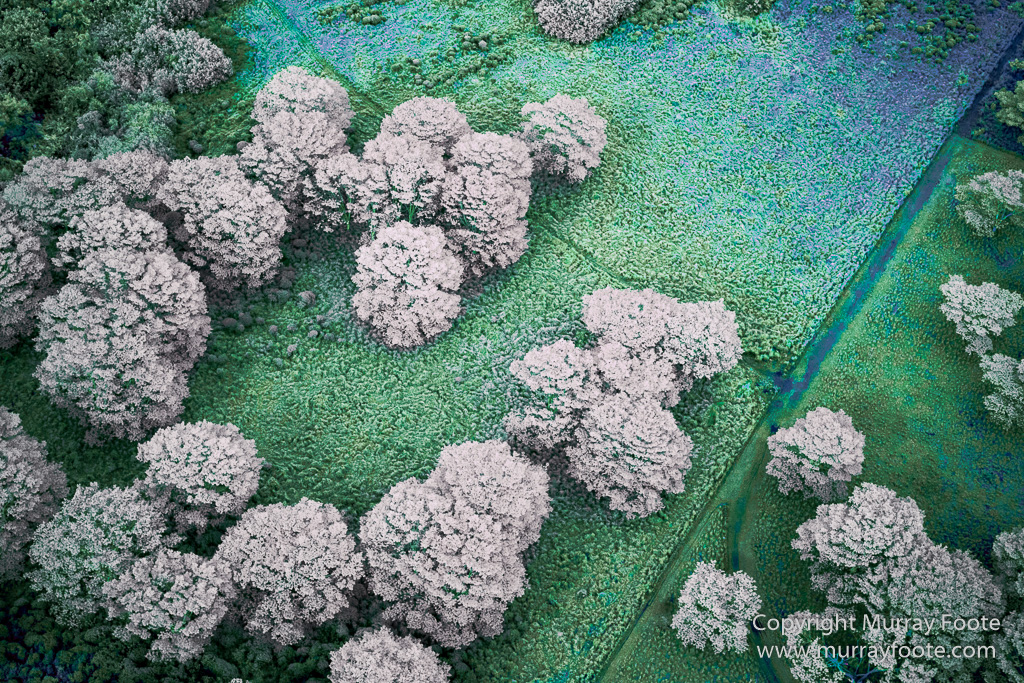
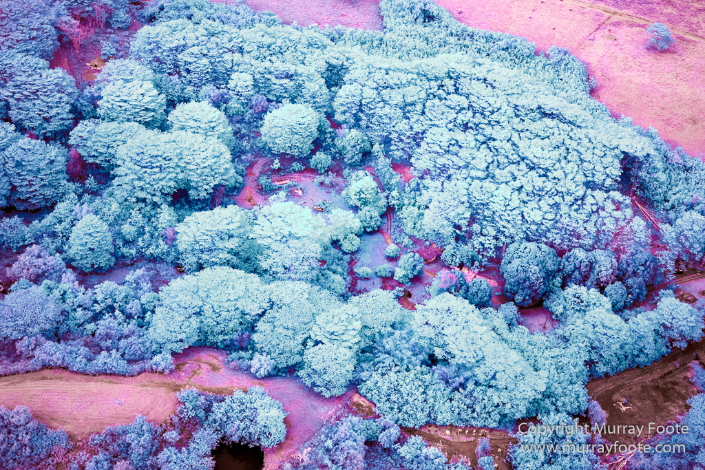
This is the second post of infrared images taken from a helicopter over Kauai. They are of the return journey from the north of Kauai to the airport. The first few are in the settled area by the coast, then in the wild country around Mount Wai’ale’ale, and progressing through forested areas and farm lands. I won’t label most of them because I can’t add much to what I have just said.
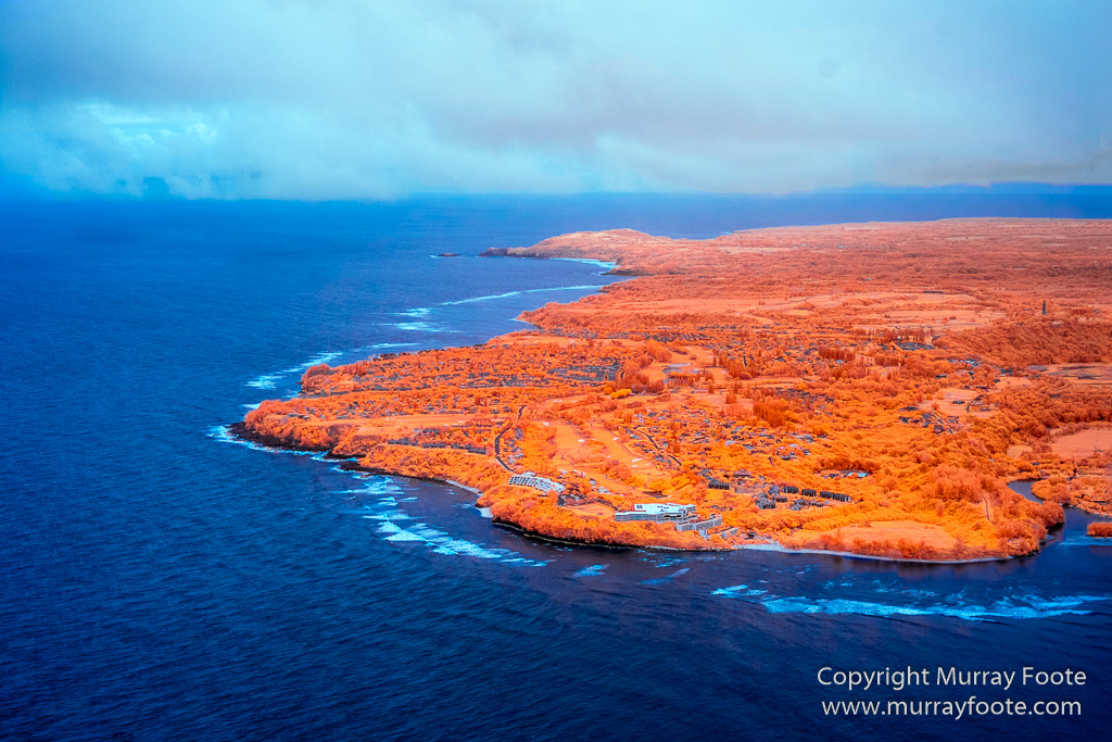
We are looking at the Princeville Resort from over Hanalei Bay. The resort buildings near the coast are where I remarked in an earlier post that I could not access a beach mentioned in the guidebook because the resort had simply bought all the land and restricted visitor parking to practically zero.
.

Hanalei Bay.
.

Hanalei Bay.
.
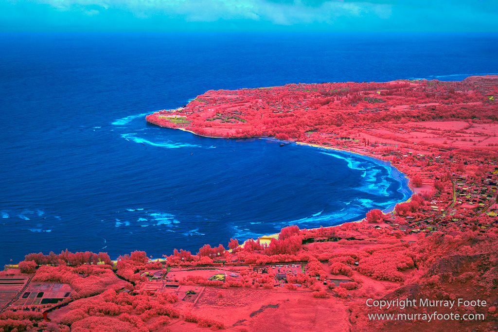
Hanalei Bay.
.
 .
.
.
 .
.
.
 .
.
.
 .
.
.
 .
.
.
 .
.
.
 .
.
.
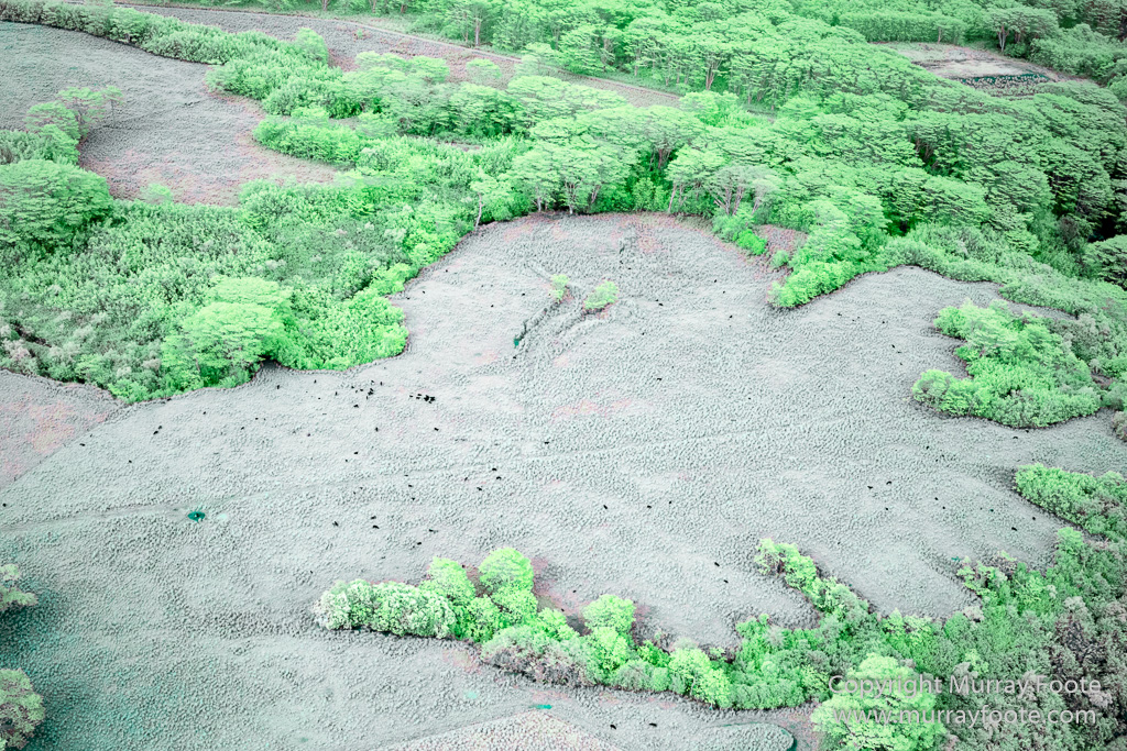
The black dots are cattle.
.
 .
.
.
There’s more detail if you click on this image. There are two dead trucks (though you can probably only see one), a house and some bee hives.
.
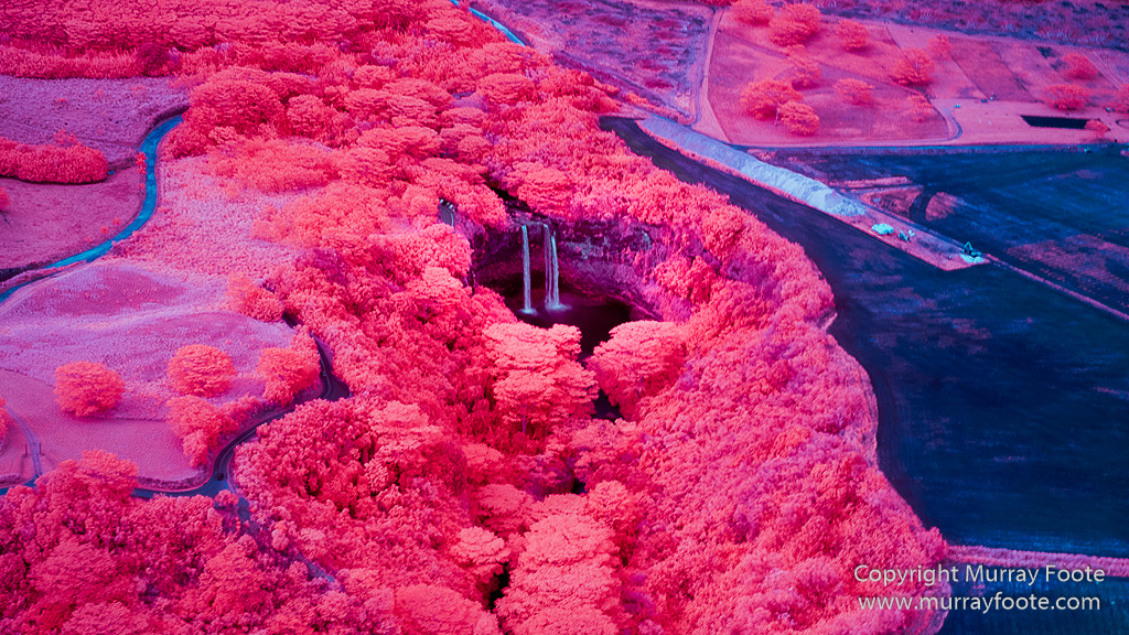
Wailua Falls.
.
