Hawaii (The Big Island), Hawaii, 24 February 2015

This day we drove up the east coast of Hawaii in a guided tour very generously provided by Mark. First we drove from where we were staying, along the coast to the south west corner of the island. This is a place in the road where the trees grow overhead.
.
 Views along the south west coast.
.

.
.

This is Pohoiki Bay, with surfers waiting in the water. There are places here where the sea water is warm from thermal activity.
.

A sacred pool at Pohoiki Bay. If I remember correctly, it was only for the use of Hawaiian royalty.
.

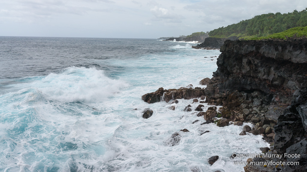
This is a view from a scenic road north of the west coast town of Hilo. Hilo was devastated by a tsunami from Chile in 1960, the same one that washed the Tongariki moai on Easter Island hundreds of kilometres inland. Thirty foot waves hit the coast at Hilo (and presumably here) killing 61 people and causing the town to be rebuilt further inland.
.
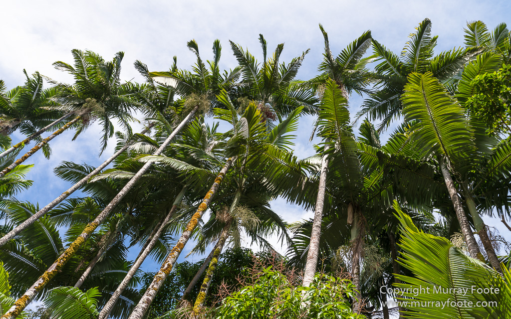
Here we are further north along the west coast and have descended from the highway to the tiny coastal settlement of Laupahoehoe. These are coconut palms where we parked the car.
.
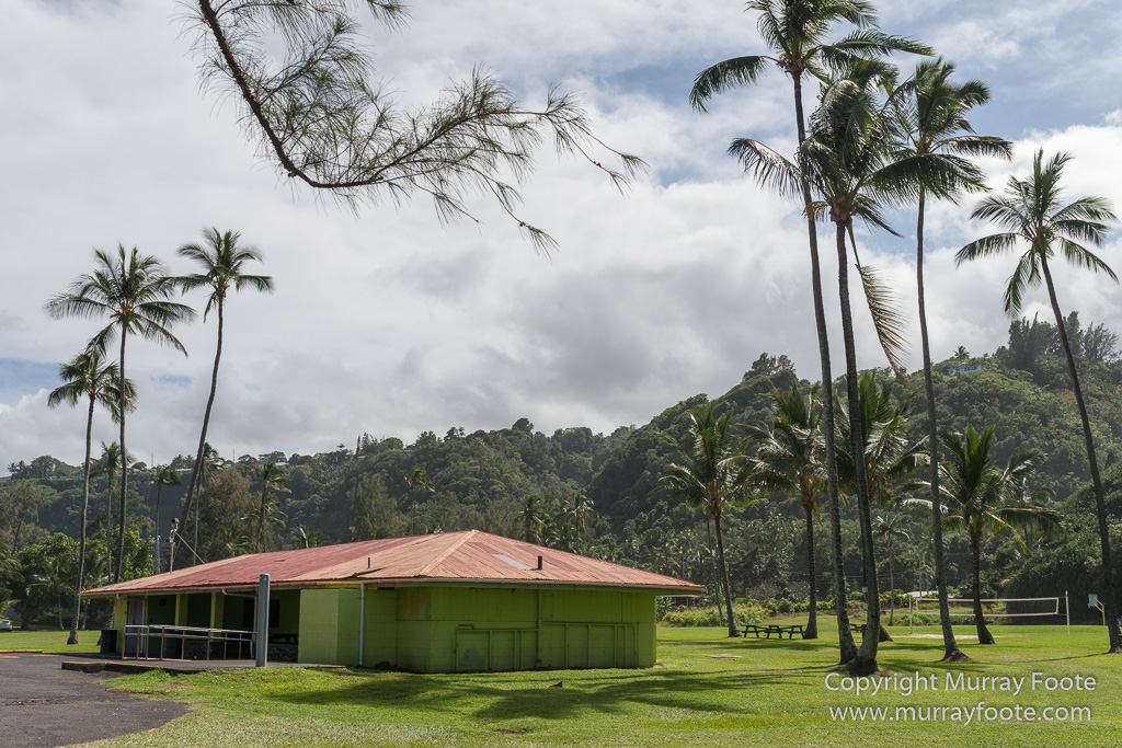
Damaging tsunami have hit Hawaii in 1837, 1841, 1868, 1868, 1869, 1872, 1877, 1883, 1906, 1918, 1923, 1933, 1946, 1957, 1960 and 1975. Laupahoehoe was inundated by one in 1946 that originated in the Aleutian Islands. 159 people died, mainly in Hilo but including 23 children and 4 teachers in Laupahoehoe. There were three waves and the children were on the beach collecting fish left by the second wave when the third and largest wave hit, thirty metres high. Only one teacher and two children survived. This is near where the school was, close to the sea. Residences and school buildings are now further from the sea.
.
 Looking north, along the coast.
.

Not everyone was greatly concerned by the prospect of tsunamis.
.

A couple of small birds were most indignant at interlopers they could see in car windows and mirrors.
.

They are Yellow-billed Cardinals, native to Brazil, Paraguay, Bolivia and Argentina.
.
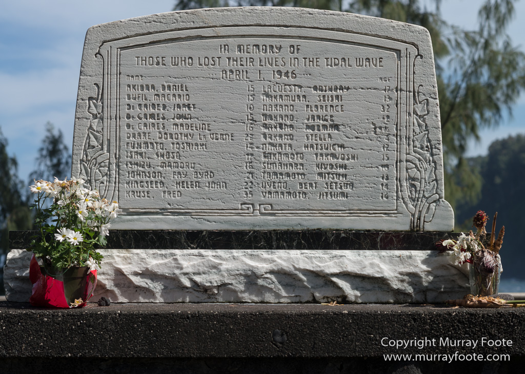
Memorial and list of dead from the 1946 tsunami.
.

Finally, some views from the lookout overlooking Waipio Bay.
.

Getting to the lookout is one thing. Going further down into the valley is another matter as there is a one-lane road suitable only for four-wheel drive vehicles. It is an ancient sacred valley and was the headquarters of ali’i (or king) Umu, the first to rule over the whole island in the fourteenth century.
.

It is also a surfing location.
.

Here is a glimpse of life in Waipio Valley. It was inundated in the 1946 tsunami when no lives were lost but ancient sites were destroyed. The valley also went under four feet of water in a flood in 1979. Today only around 50 people live there and visitors are not necessarily welcome.
.
