Eaglehawk Neck to Tasman Island, Tasmania, 11 October 2023
.
Click on any image to see it larger (If you are on a PC at least).
.
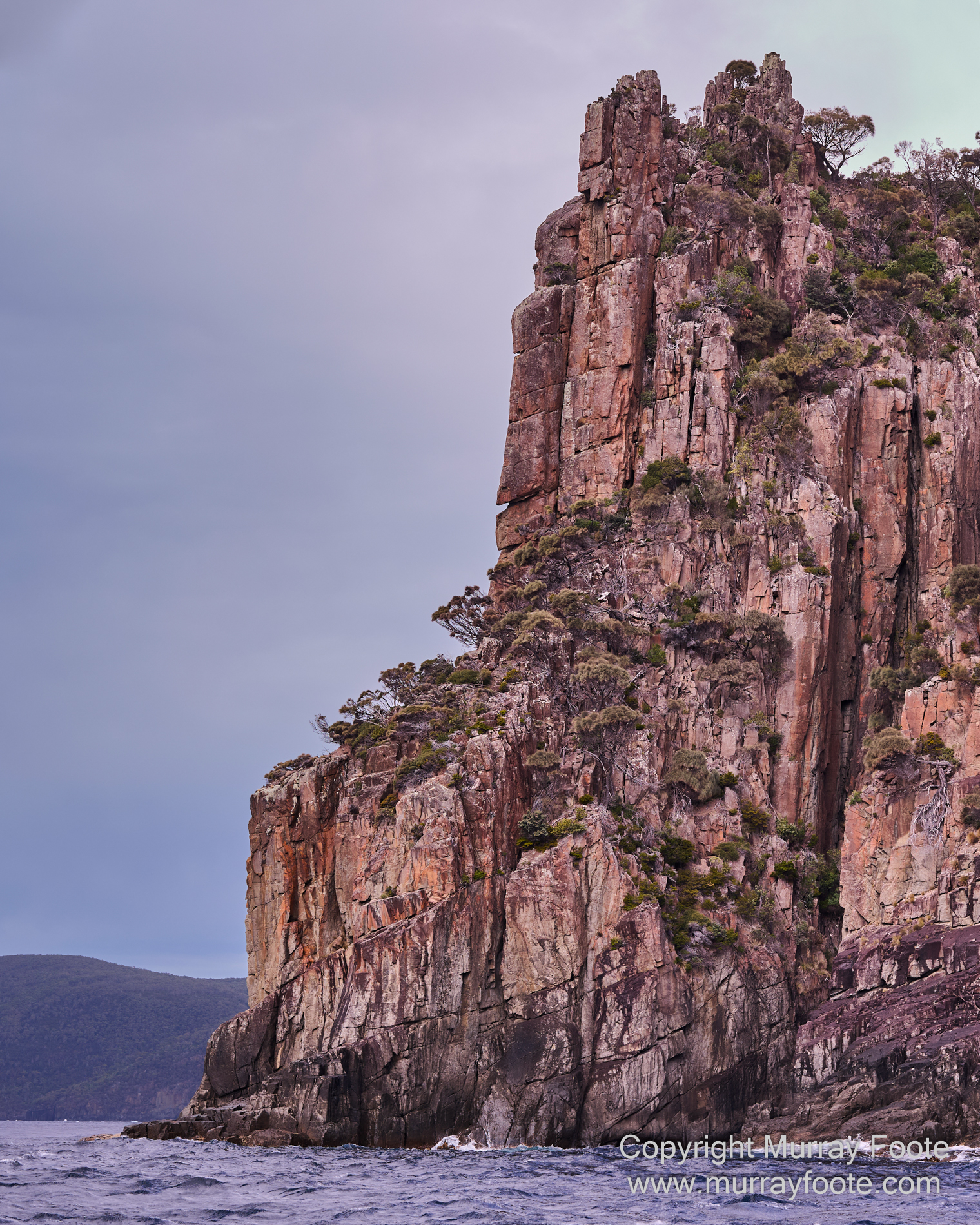
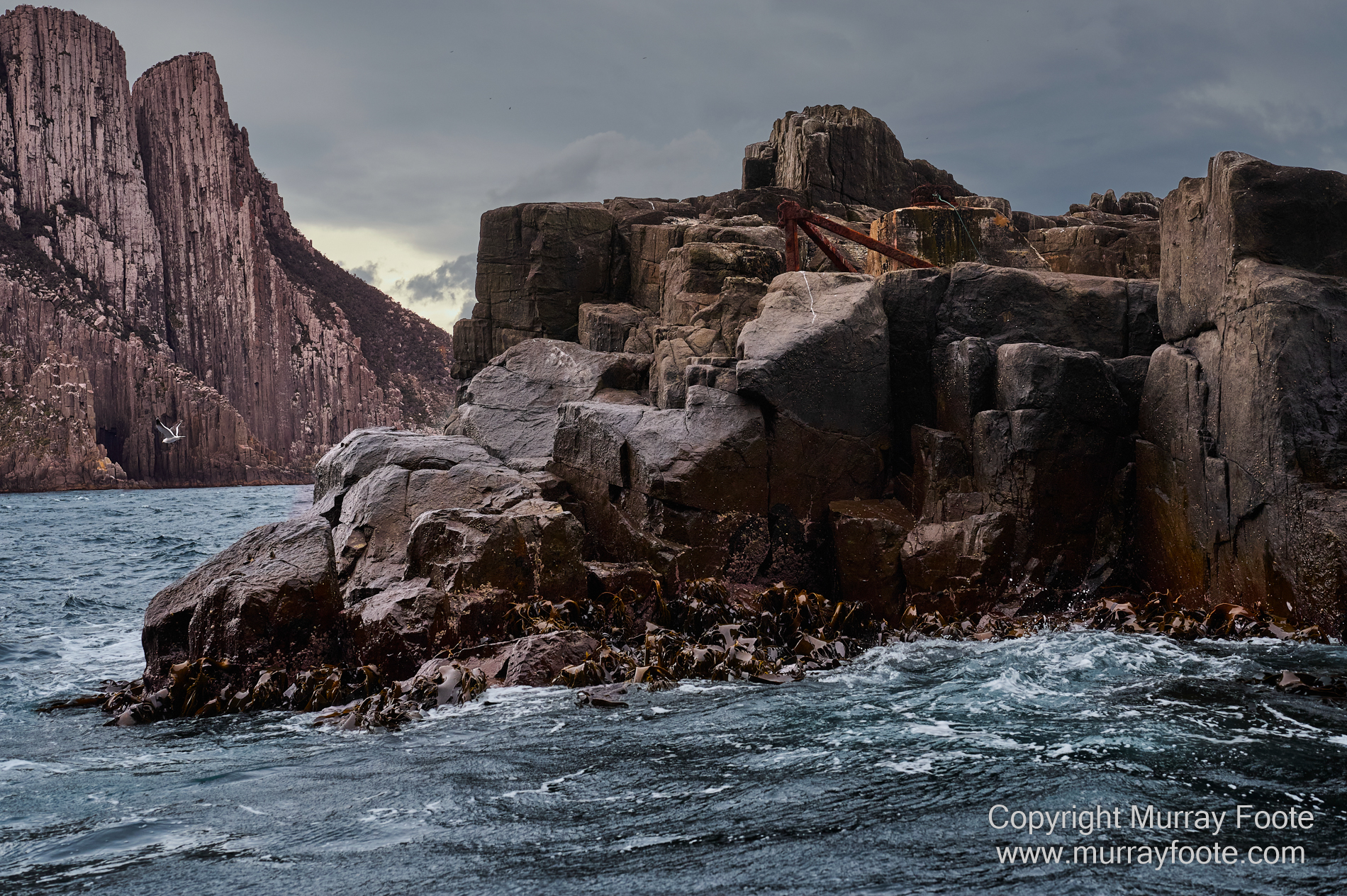
Views of coastline from the boat, here not far from Eaglehawk Neck.
Port Arthur is the site of an historic convict settlement and also of a massacre in 1996 that lead to the banning of automatic weapons in Australia. Unlike the US, which in recent years has had around 600 mass shootings per year, Australia has had none since 1996. It is also relevant that there is no legal right in Australia to own a firearm for self-defence and there are 3.4 firearms per 100 persons in Australia compared to 120 in the US. The US is the outlier here. Netherlands, UK and especially South Korea, Iceland, Japan and Singapore have much lower rates of gun deaths than Australia.
.
So we started the day in Port Arthur (not to be confused with Port Arthur in China, where there was another massacre in 1905, of over 20,000 Chinese troops and civilians, in the Sino-Japanese War). Our purpose though, was not to visit the ruins of the convict settlement, but to join a cruise to Tasman Island that departed from Eaglehawk Neck. So this also required a 20 kilometre bus journey from Port Arthur. All the images in this post (apart from the last six) were taken at sea between Eaglehawk Neck and Tasman Island.
.
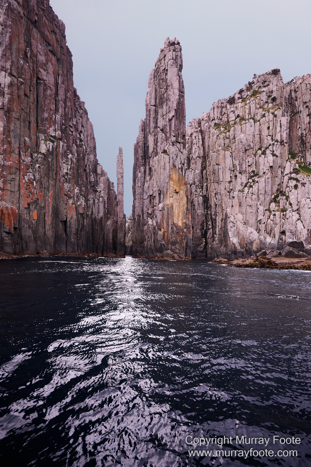
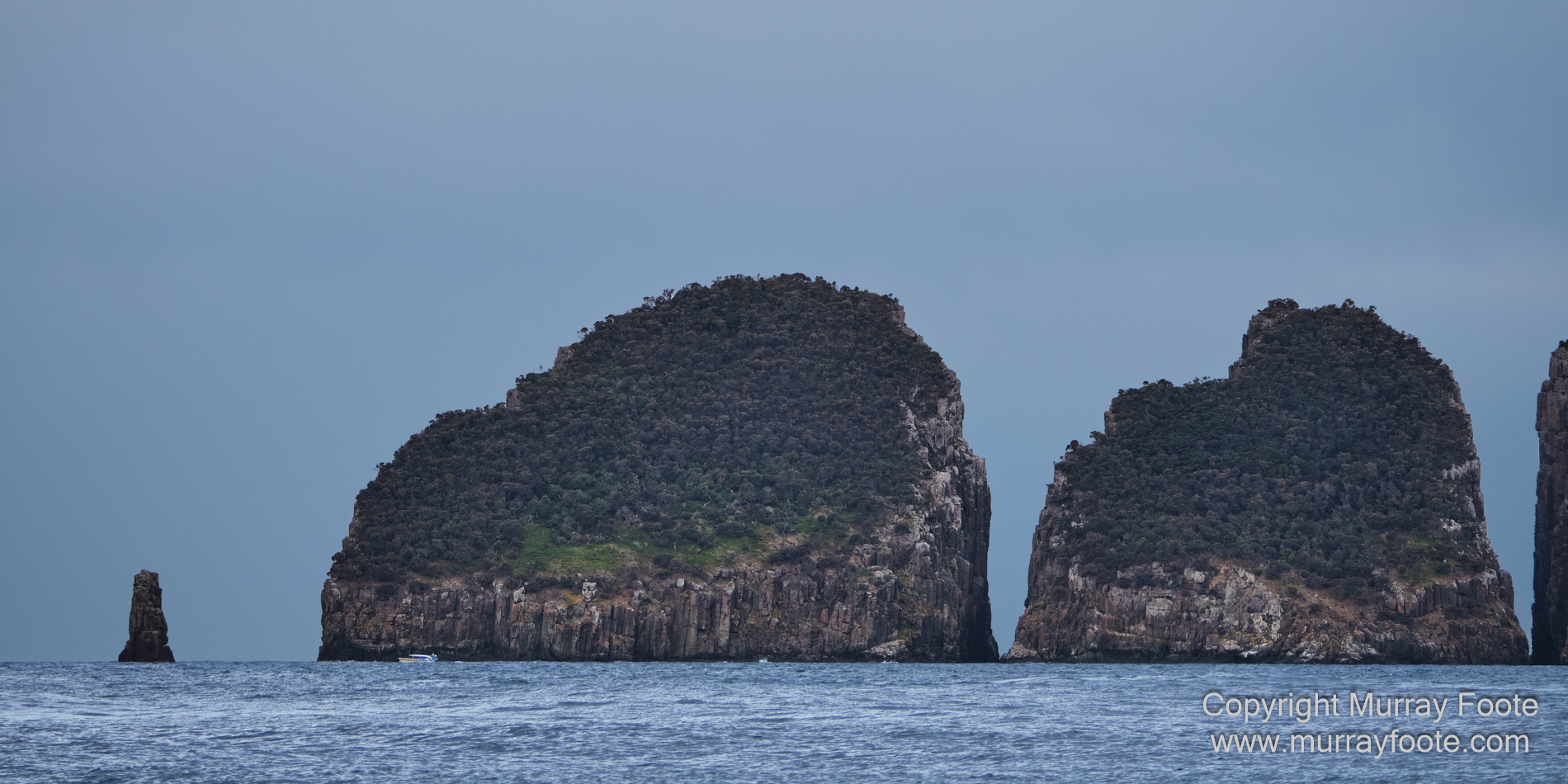
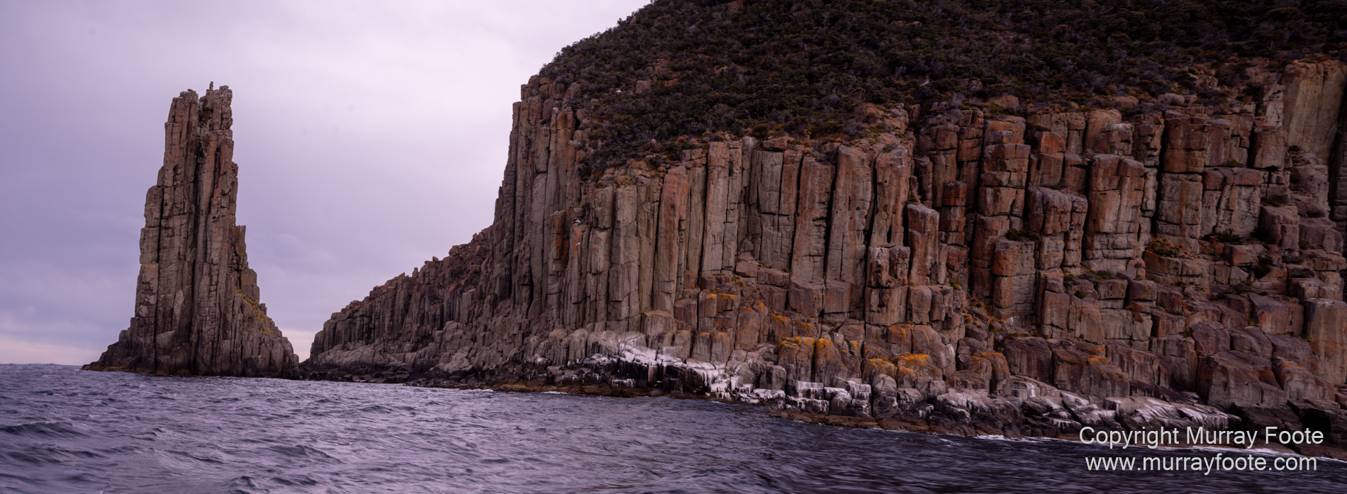
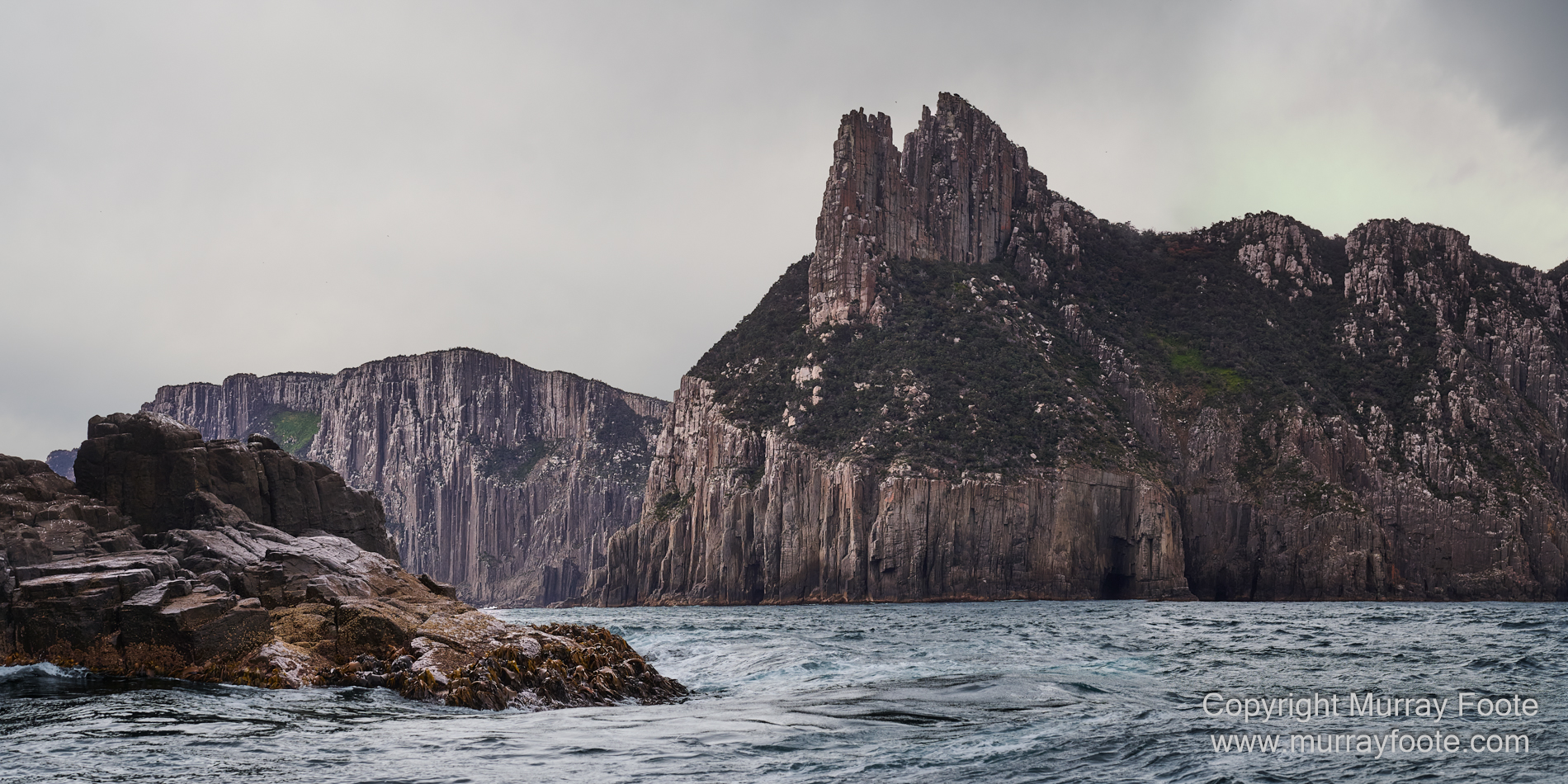
Totem Pole (the thin sliver) and the Candlestick Formation
This is at Cape Hauy (at the left). We walked to Cape Hauy in 2017 in the Wineglass Bay Sail Walk but didn’t have an angle to look down on the Totem Pole.
. 
Then, shortly after there was this dramatic light show behind us. I think this may be off Thumbs Point.
.
. 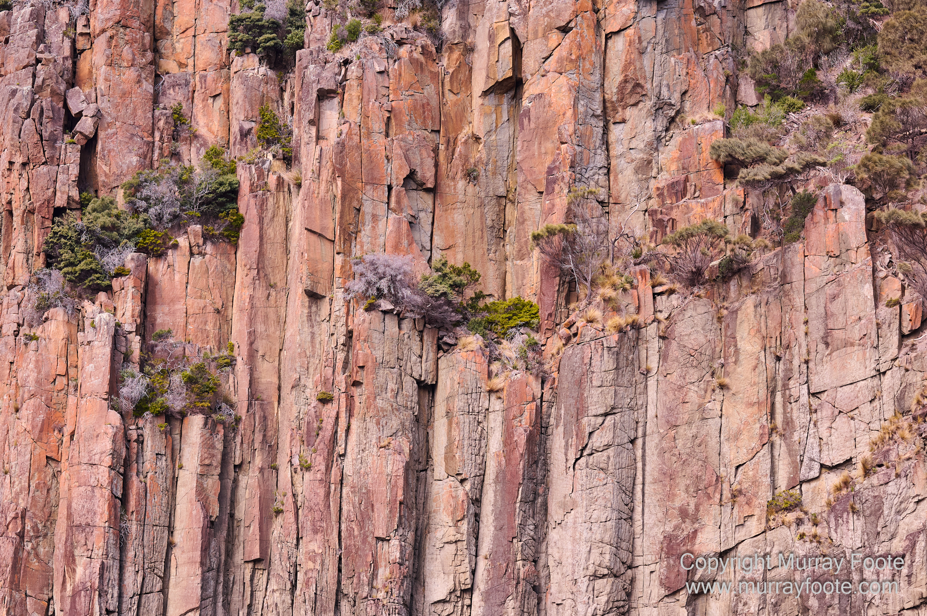
Cliff-face with plants clinging to precarious perches.
.
. 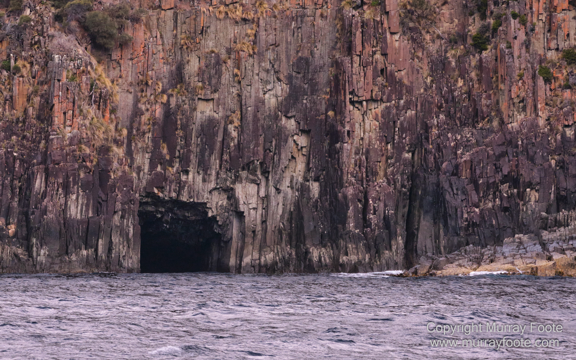
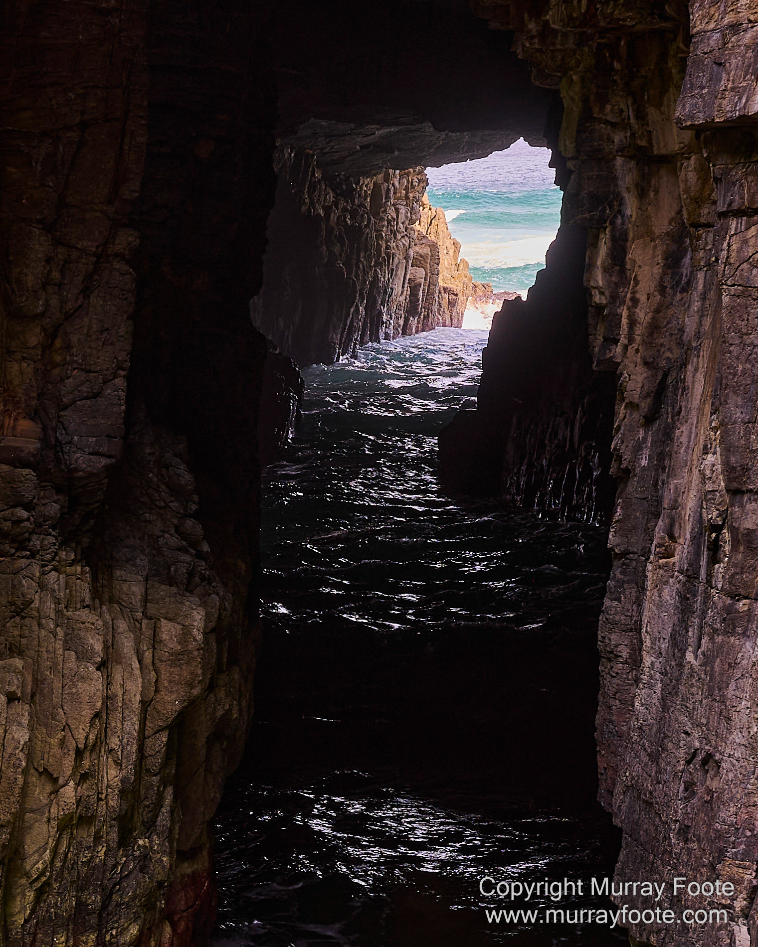
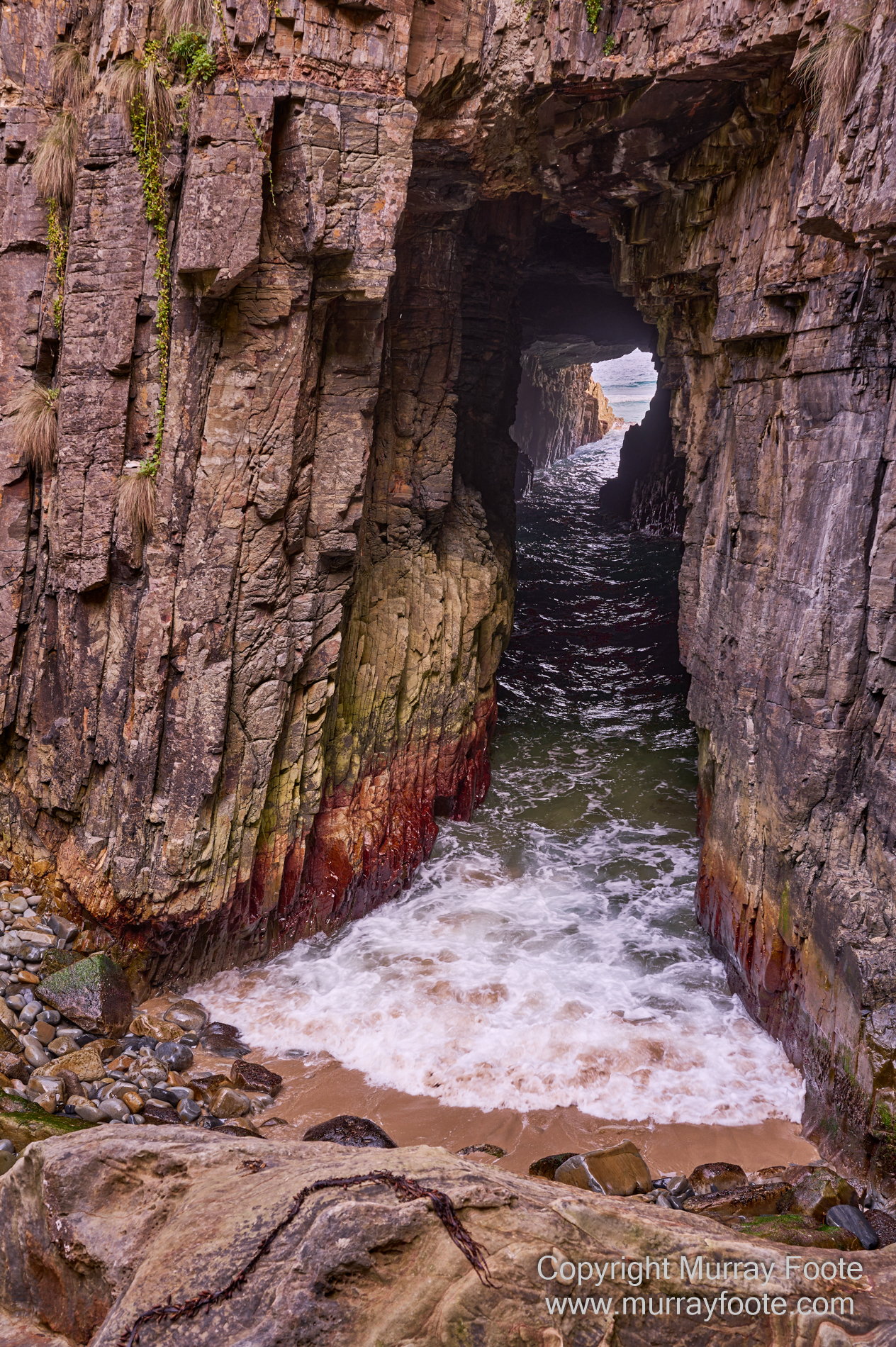
It looks like a disused mining tunnel, but no, they’ve never mined in the sea here.
.
. 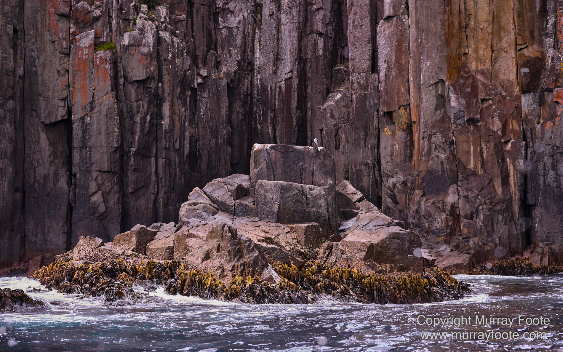
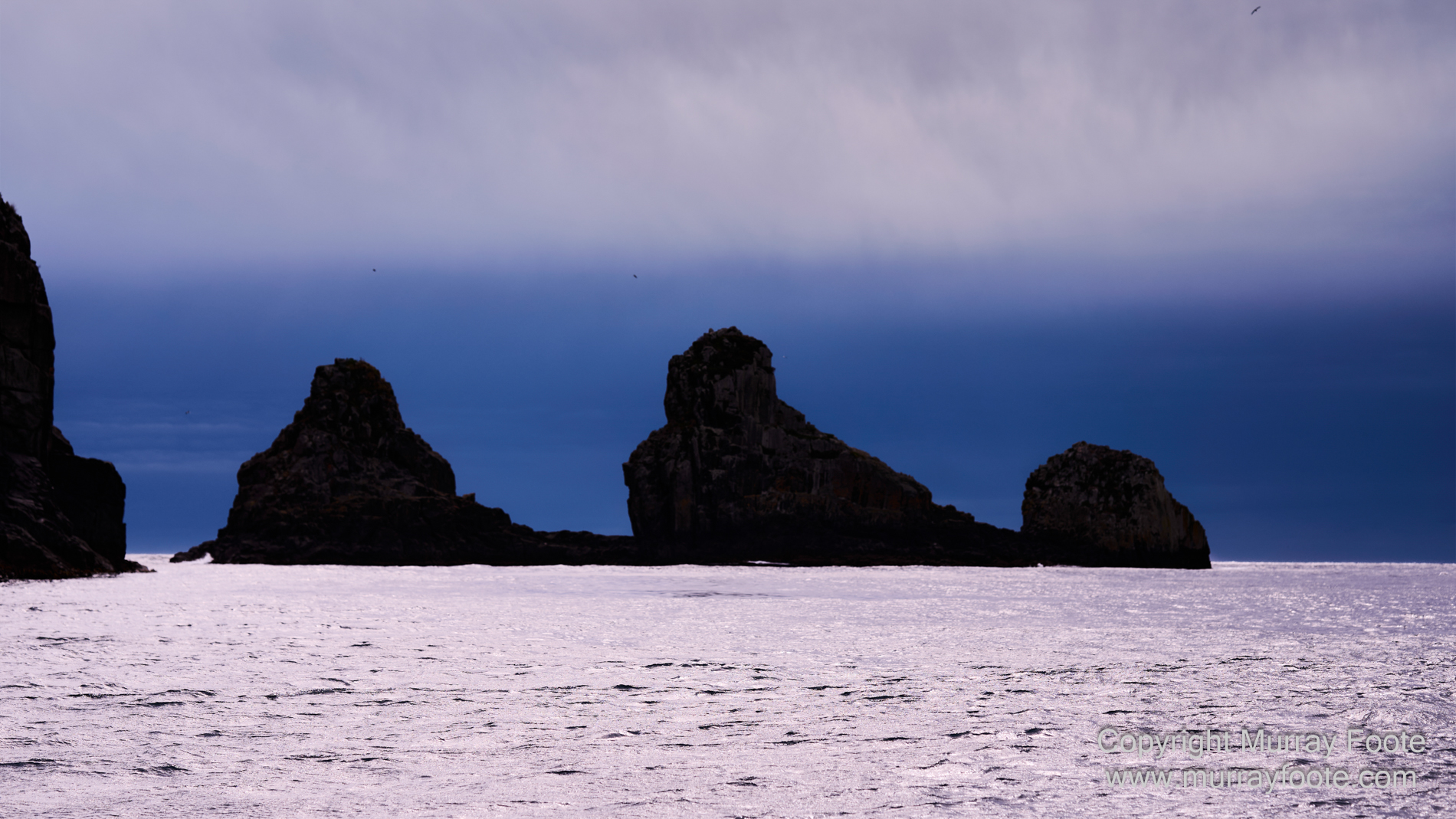
Picturesque small island in front of the cliffs.
.
. 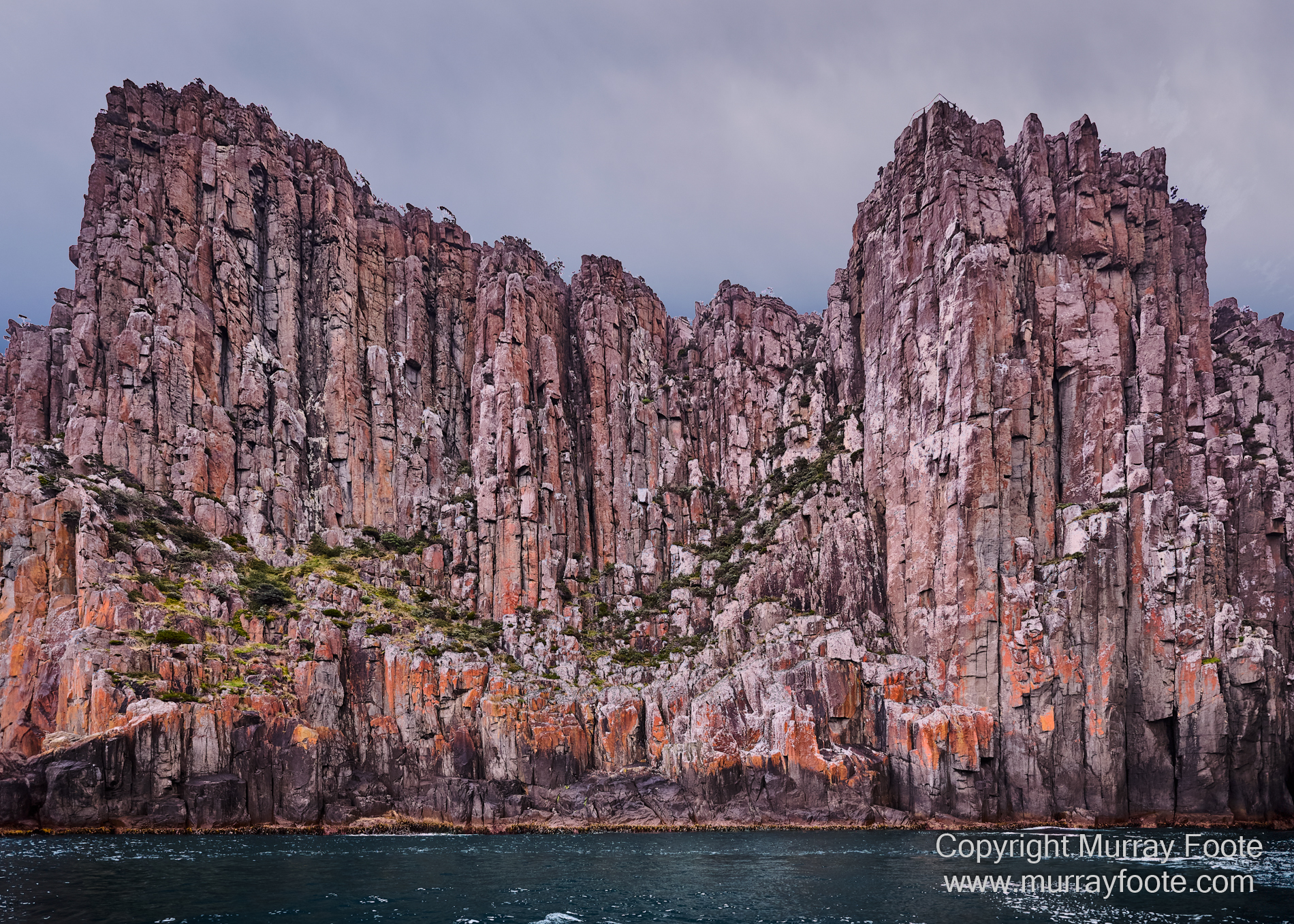
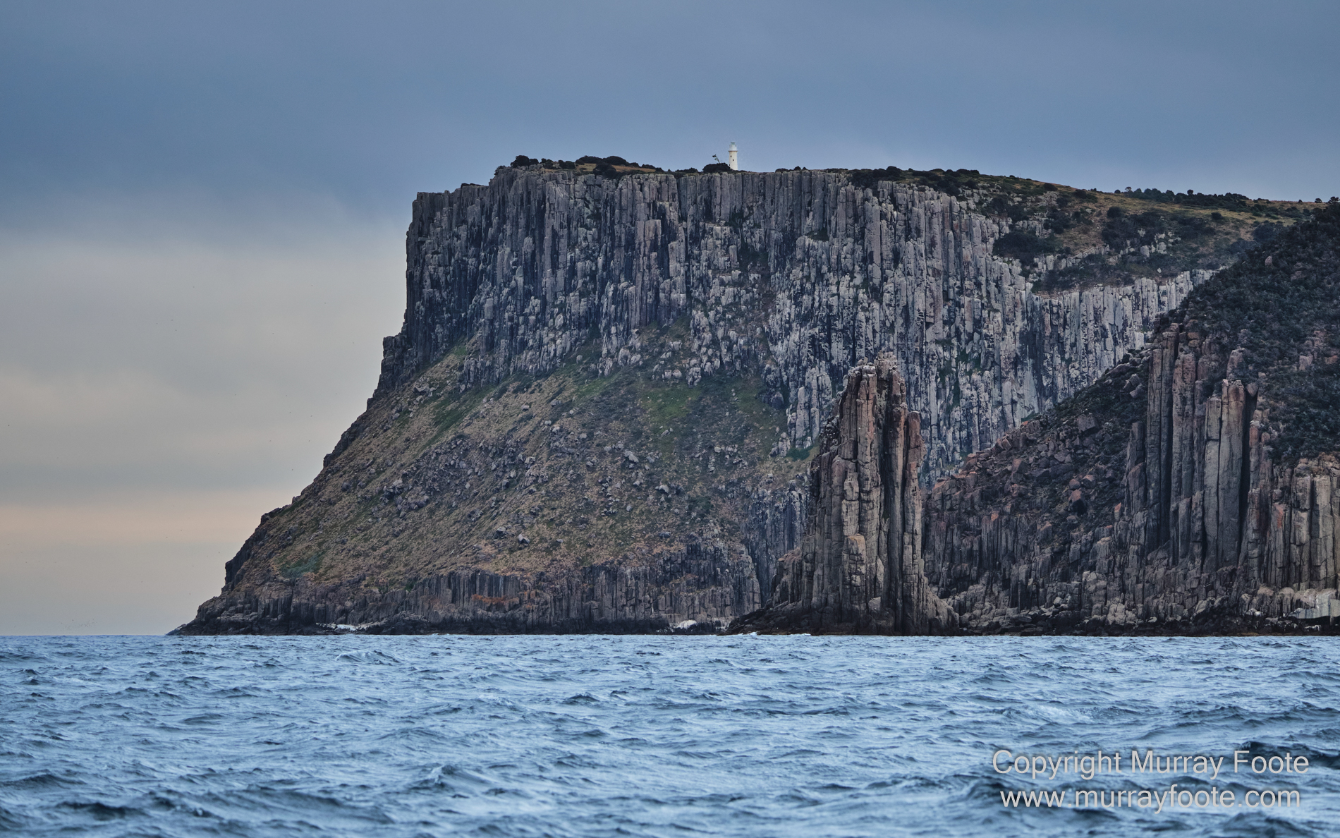
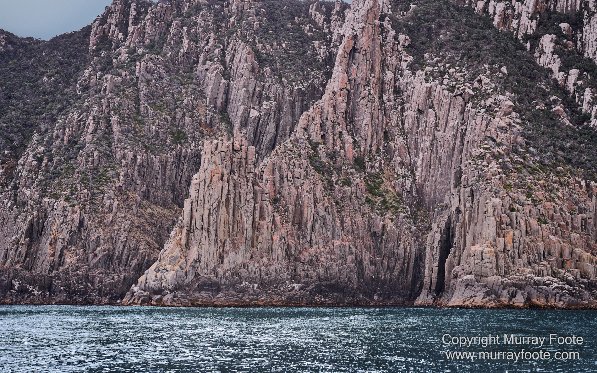
Impressive dolerite columns at or near Cape Pillar.
.
. 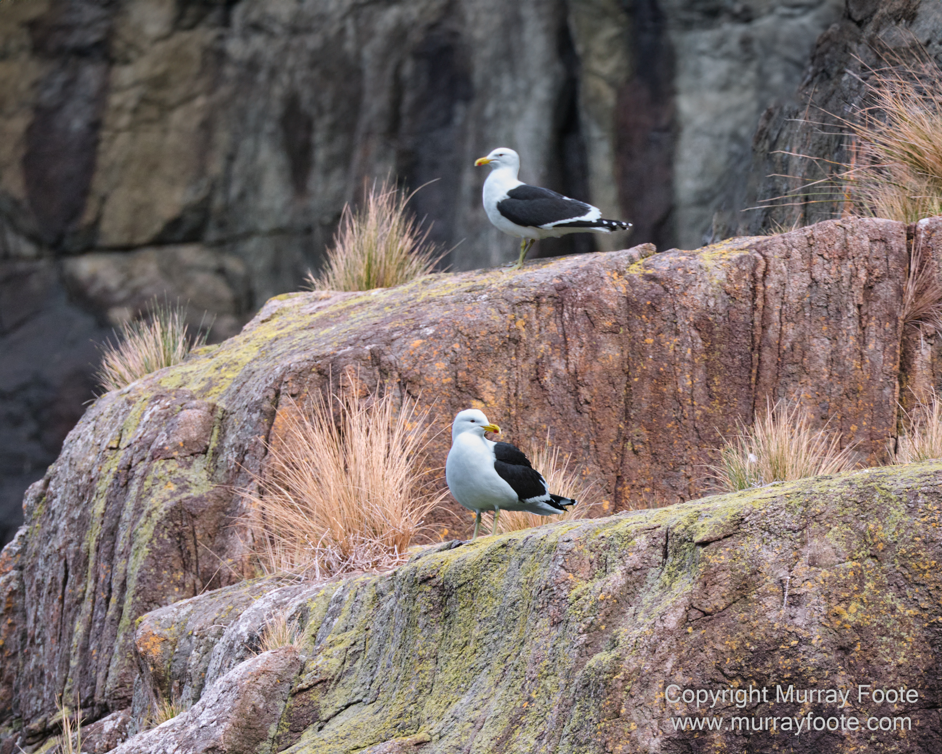
Kelp Gulls.
.
. 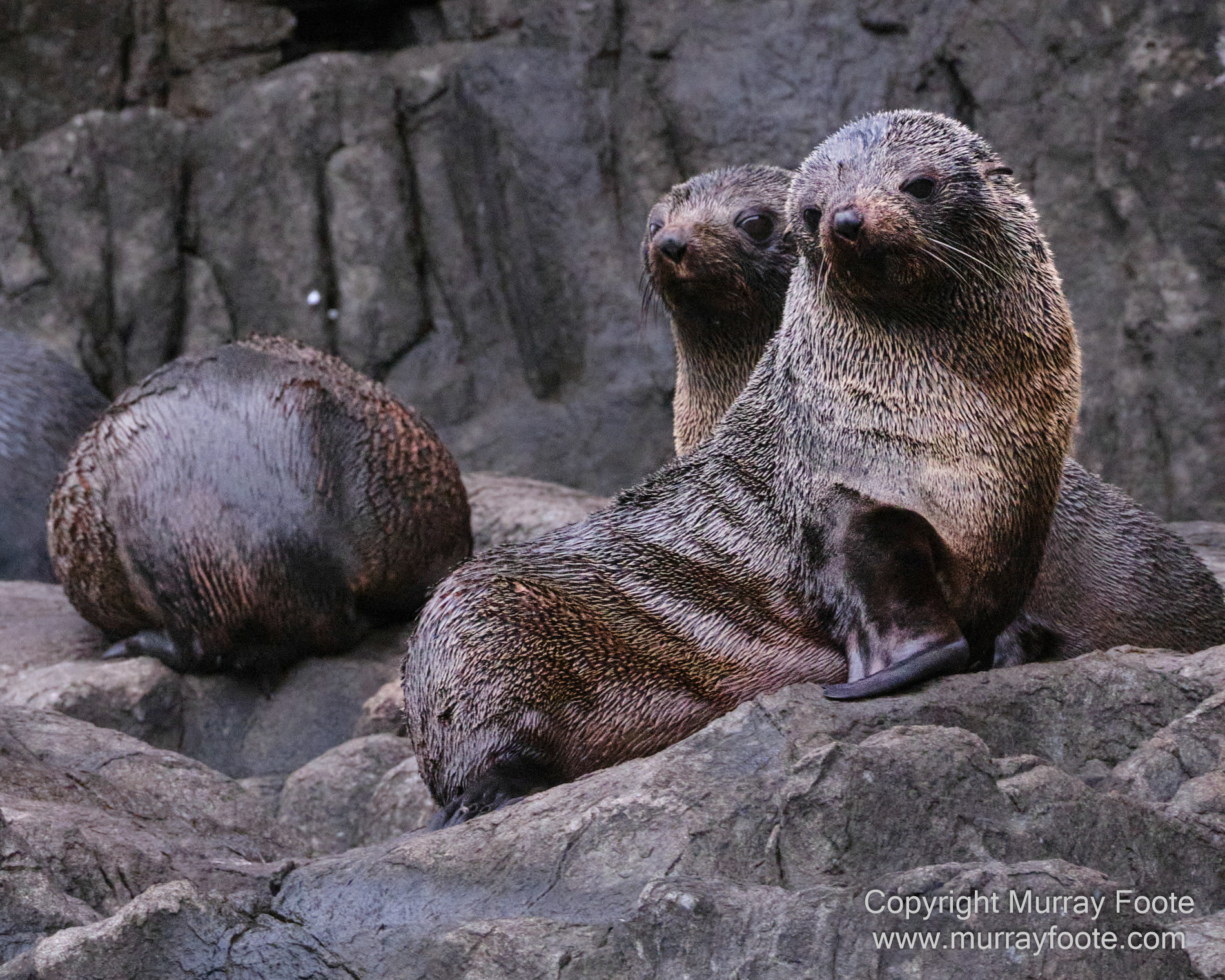
Australian Fur Seals.
.
. 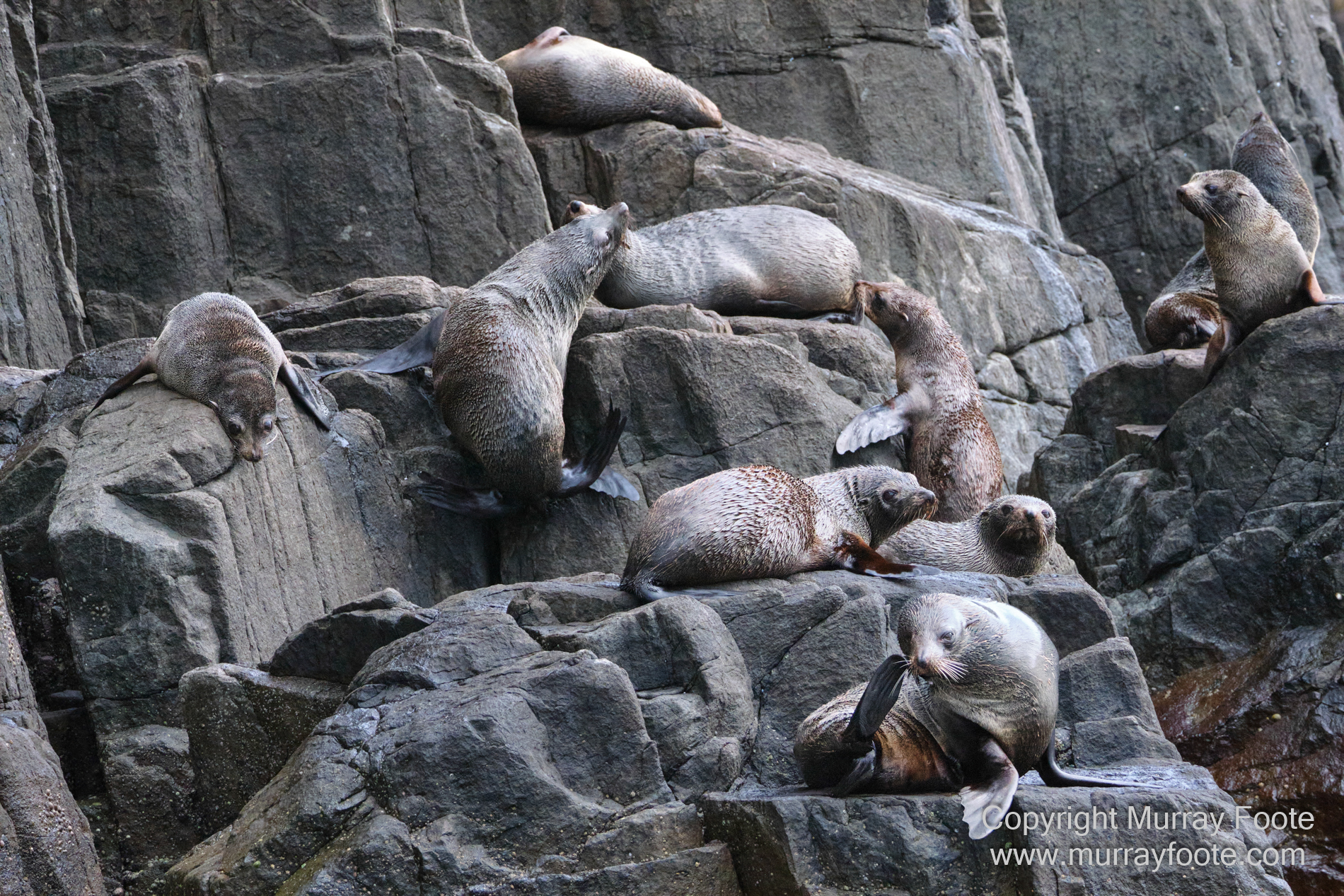
Australian Fur Seals.
.
. 
The Lanterns, off Cape Hauy.
.
. 
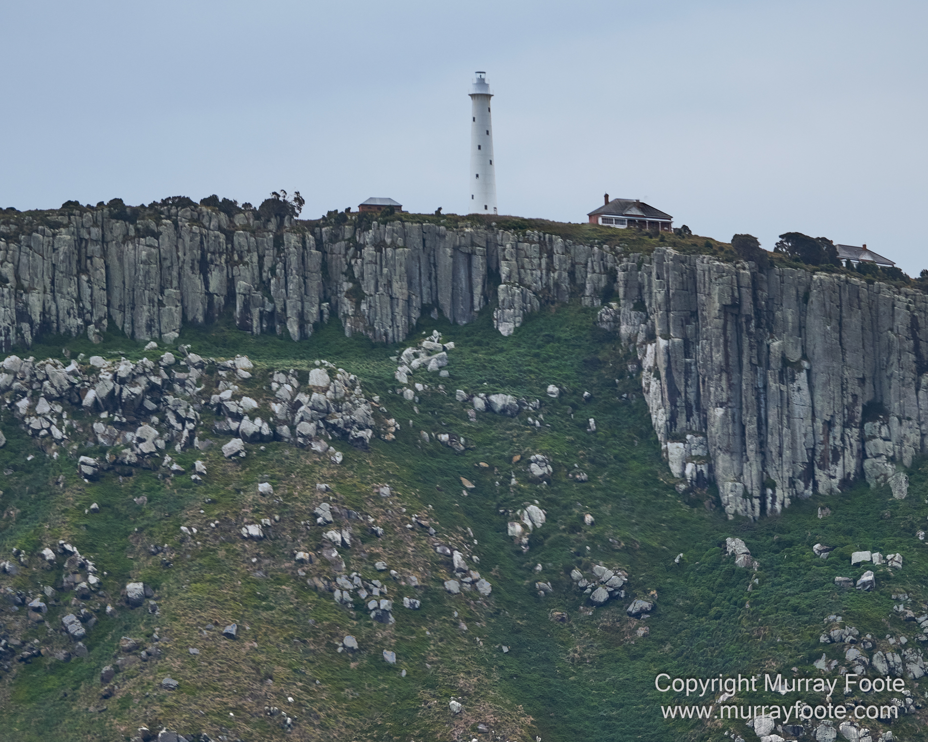
Tasman Island. You can see the lighthouse at the top. There’s a bit of foreground mainland too.
.
. 
This is probably a view of Cape Pillar.
.
. 
This is probably Tasman Island.
.
. 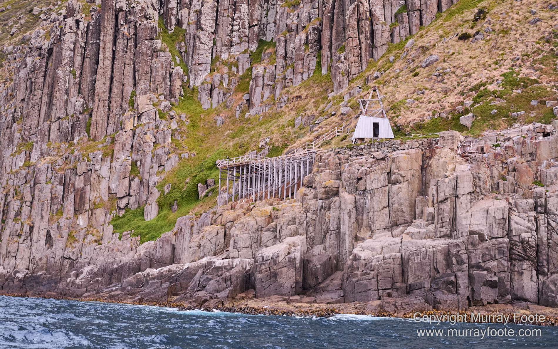
This was the sole landing point at Tasman Island until helicopters became available, probably in the 1970s. There was a flying fox that went down from here to a rock. You had to jump from the boat to the flying fox at the top of the wave and then you were haled in to the platform.
.
. 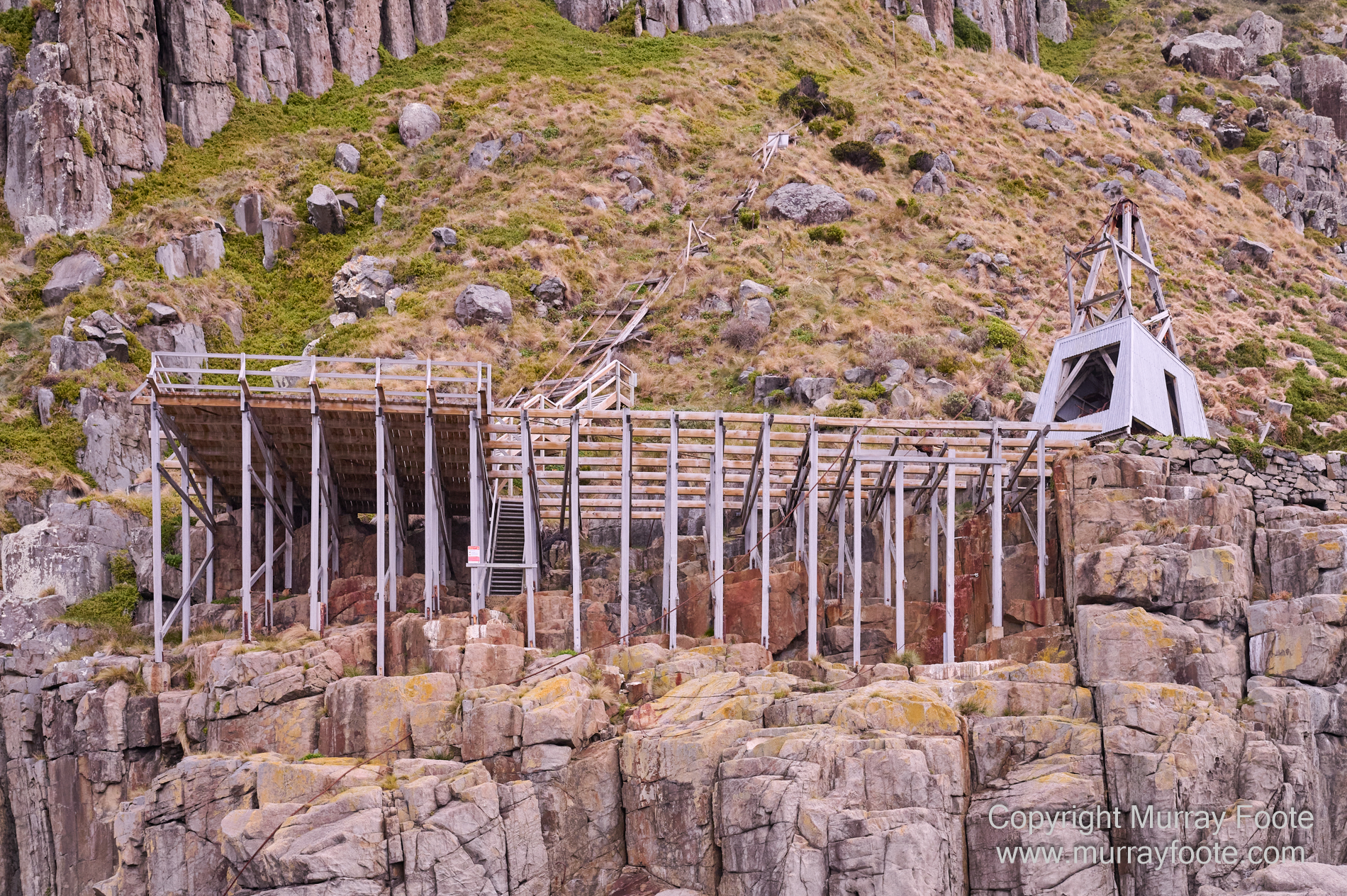
After that, you got hauled up in a Cornish wooden railway. You can see some remains of the tracks behind the platform. There was a capstan at the top of the cliff turned round by horses. In 1987, one lighthouse keeper’s wife told me she got most of the way up when the horses got confused and she went slowly down again, backwards. Another told me that having got on to the island that way, there was no way she would be prepared to experience that again until the time came to leave for good.
.
.
This is the rock the flying fox was anchored to.
When I photographed lighthouses in 1987 for the Bicentennial history From Dusk Till Dawn, I photographed Tasman Island from Cape Pillar, which I walked in to. A small boat like a tug boat was approaching where the flying fox had been. There was more left on the platform at that time and you can see it in the context of the whole island.
You can see that image here, though you may need to expand it on screen to see the detail. My Blog post for Tasman Island during the lighthouse trip is here and you can see a post on the equipment I used here (mainly large format, using of course film).
. 
Looking back to Cape Pillar and probably the edge of the flying fox island.
.
. 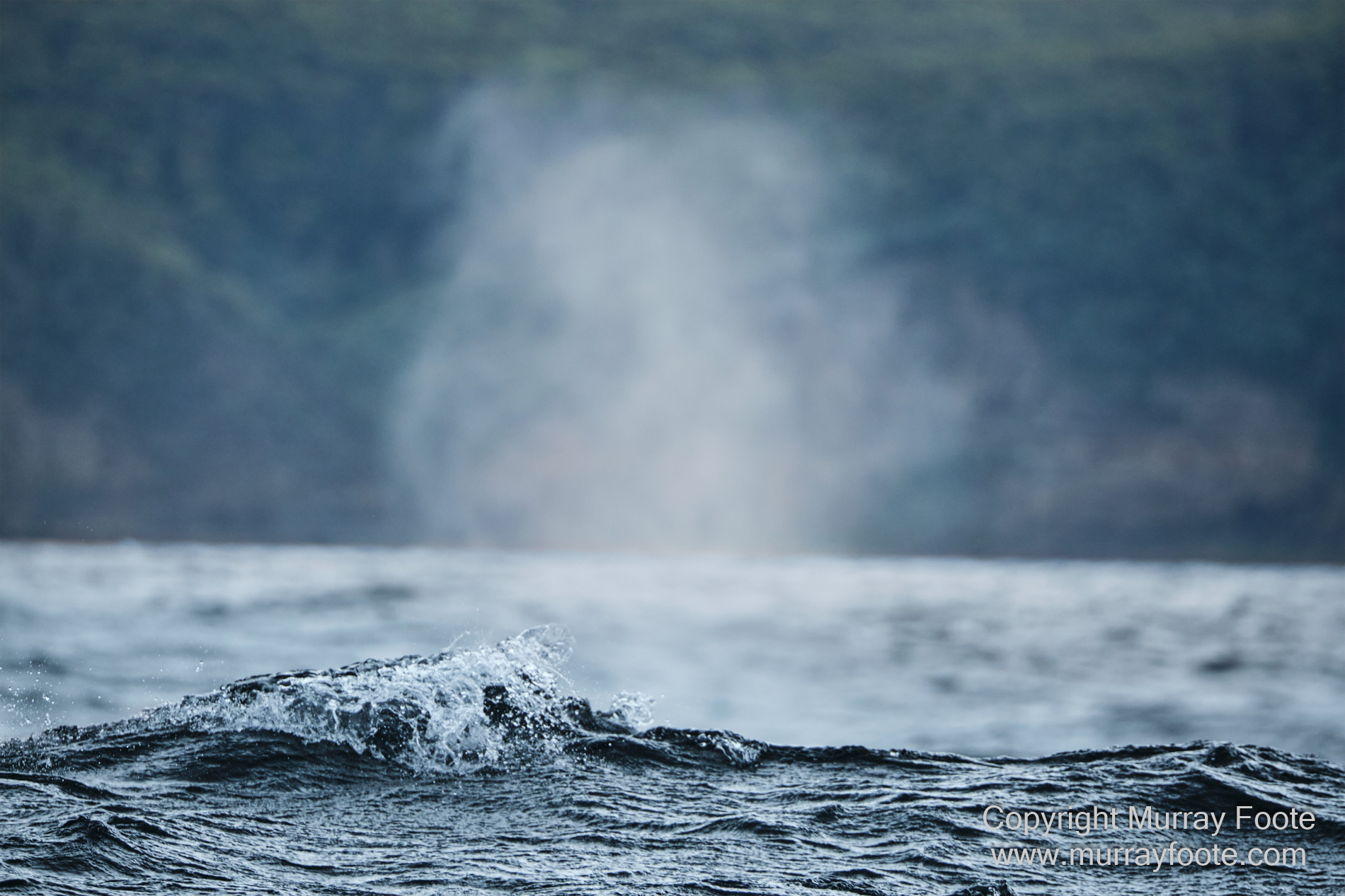
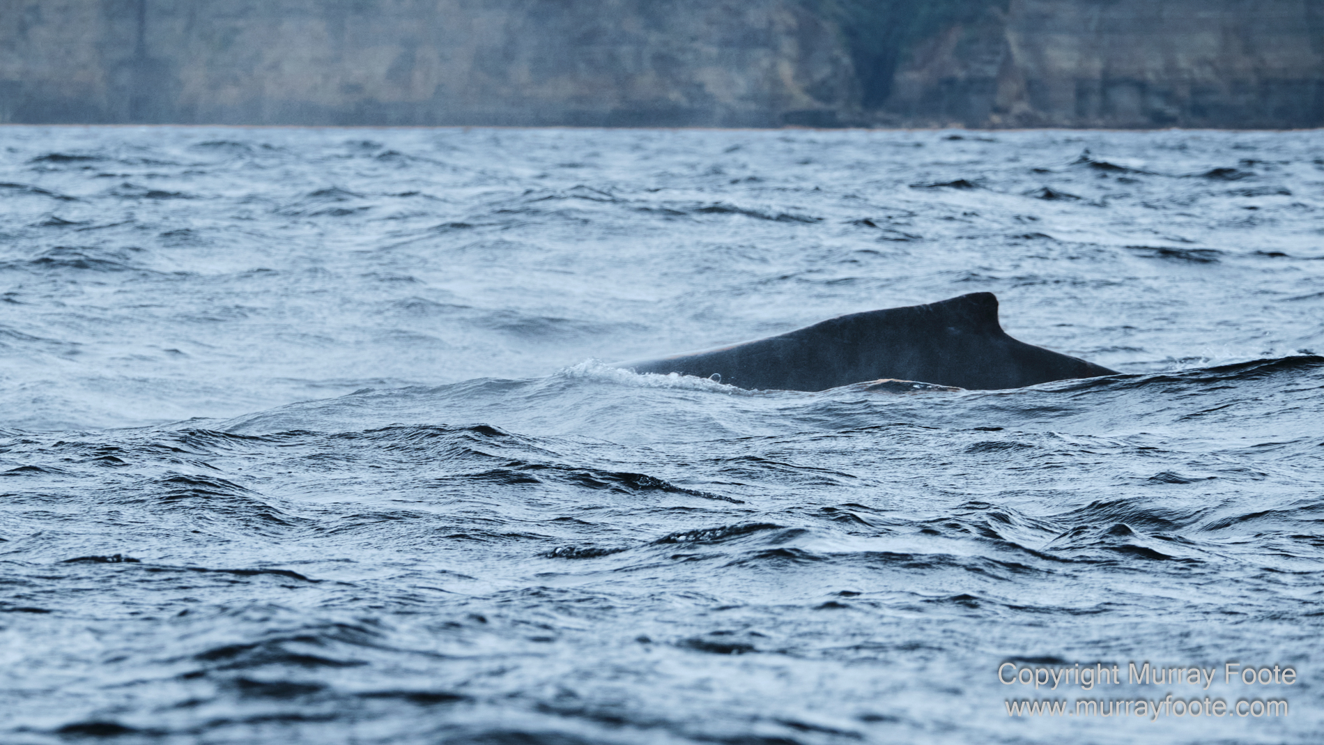
There were a couple of humpback whales around.
.
.  .
.
.
. 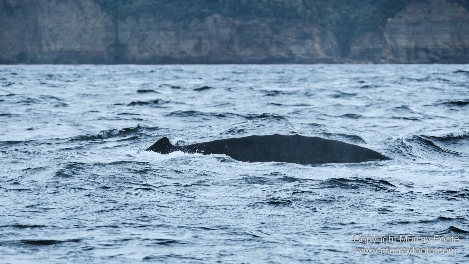
(You have to be quick).
.
. 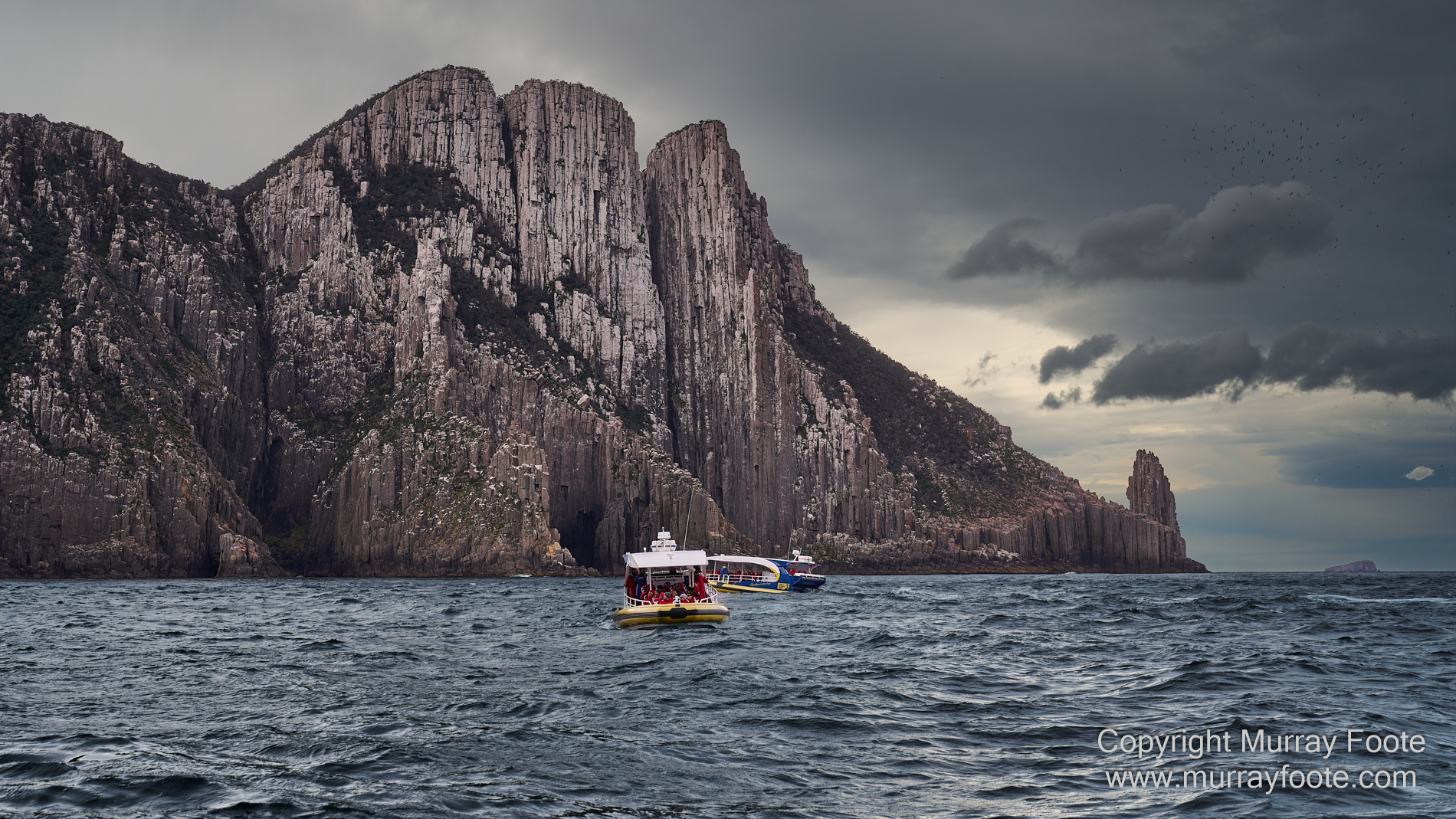
Cape Pillar and a couple of the other cruise boats.
.
.
. 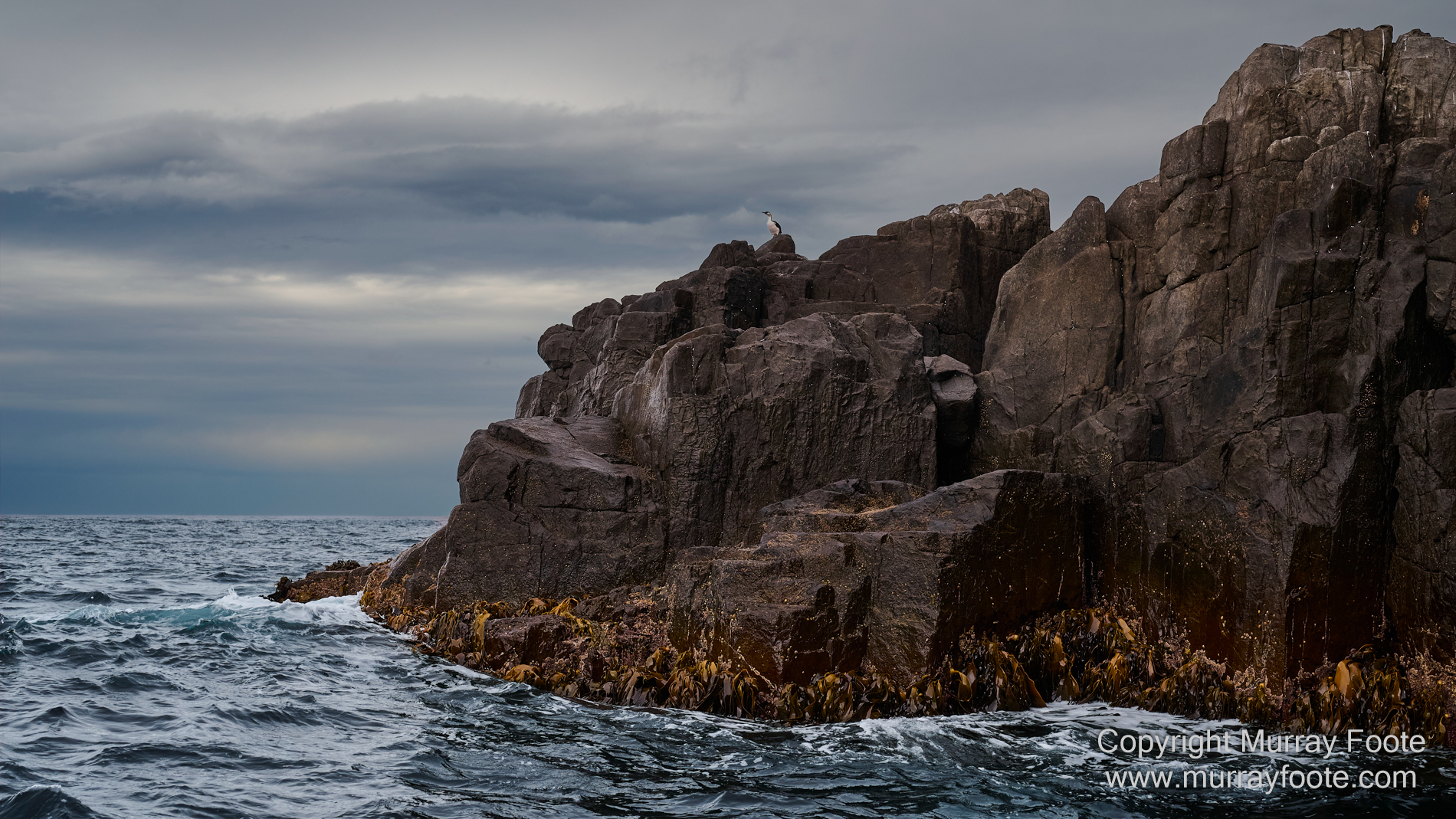
An edge of Tasman Island and a lone black-faced cormorant.
.
. 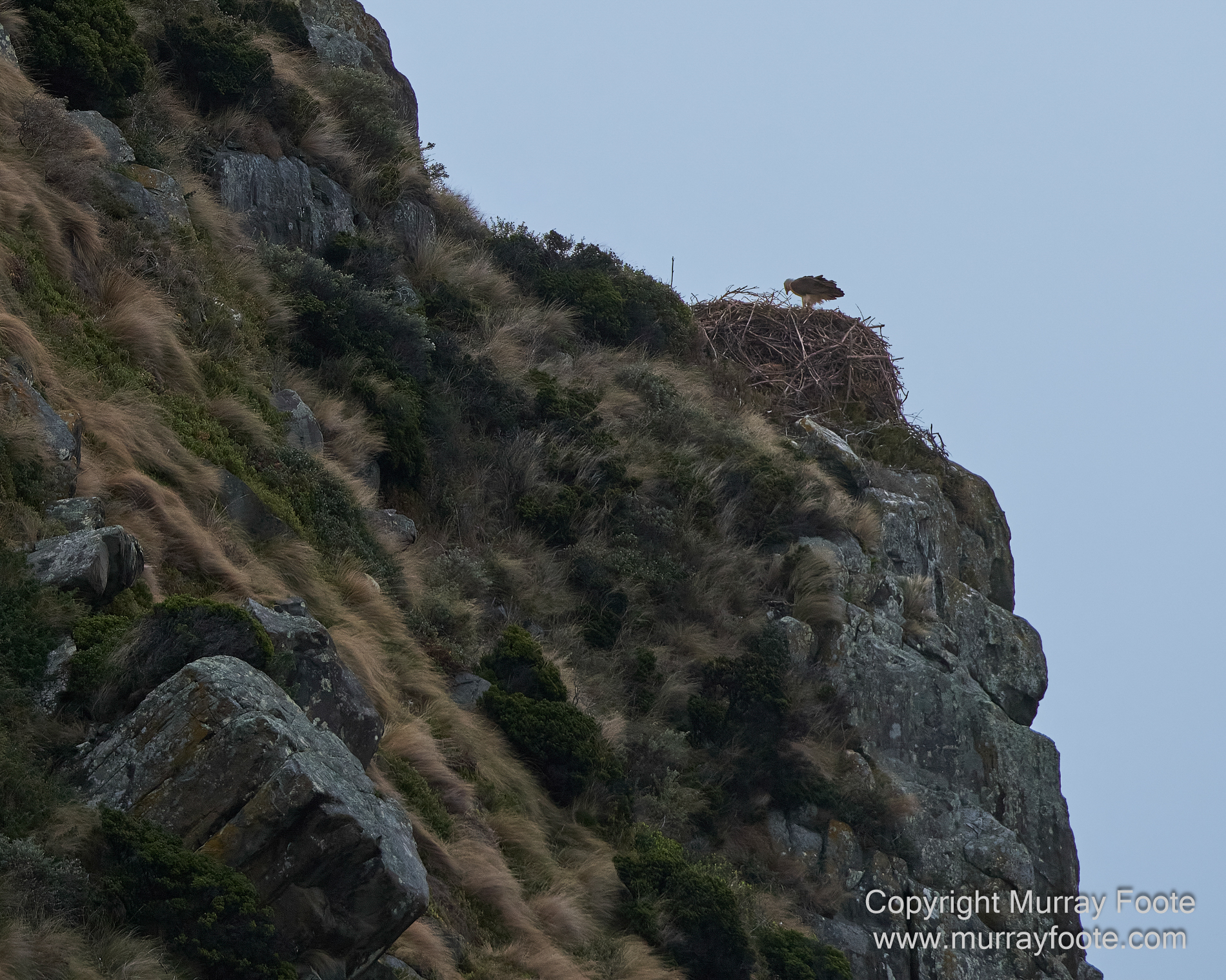
In the distance, high up in the cliffs of Tasman Island, a white-bellied sea eagle on its nest.
This was so far away that visually it took a bit of finding and may have been hard to see if not a silhouette. The image was taken with the full-frame equivalent of a 900mm lens, and then there was a more than 50% crop. It was also taken hand held on a rocking boat at 1/1600 sec and I used Topaz Photo AI to enhance the sharpness.
.
. 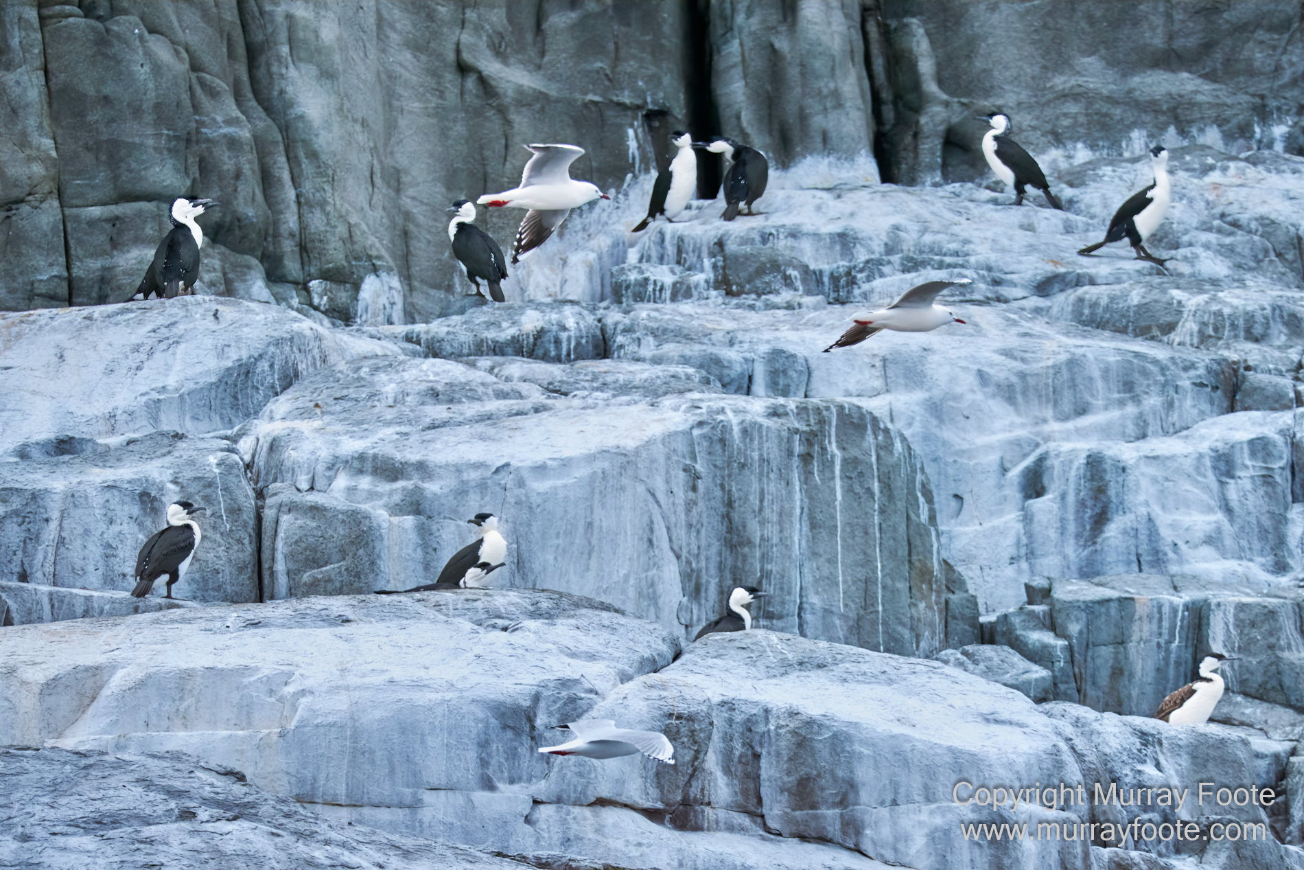
Black-faced cormorants and silver gulls.
.
. 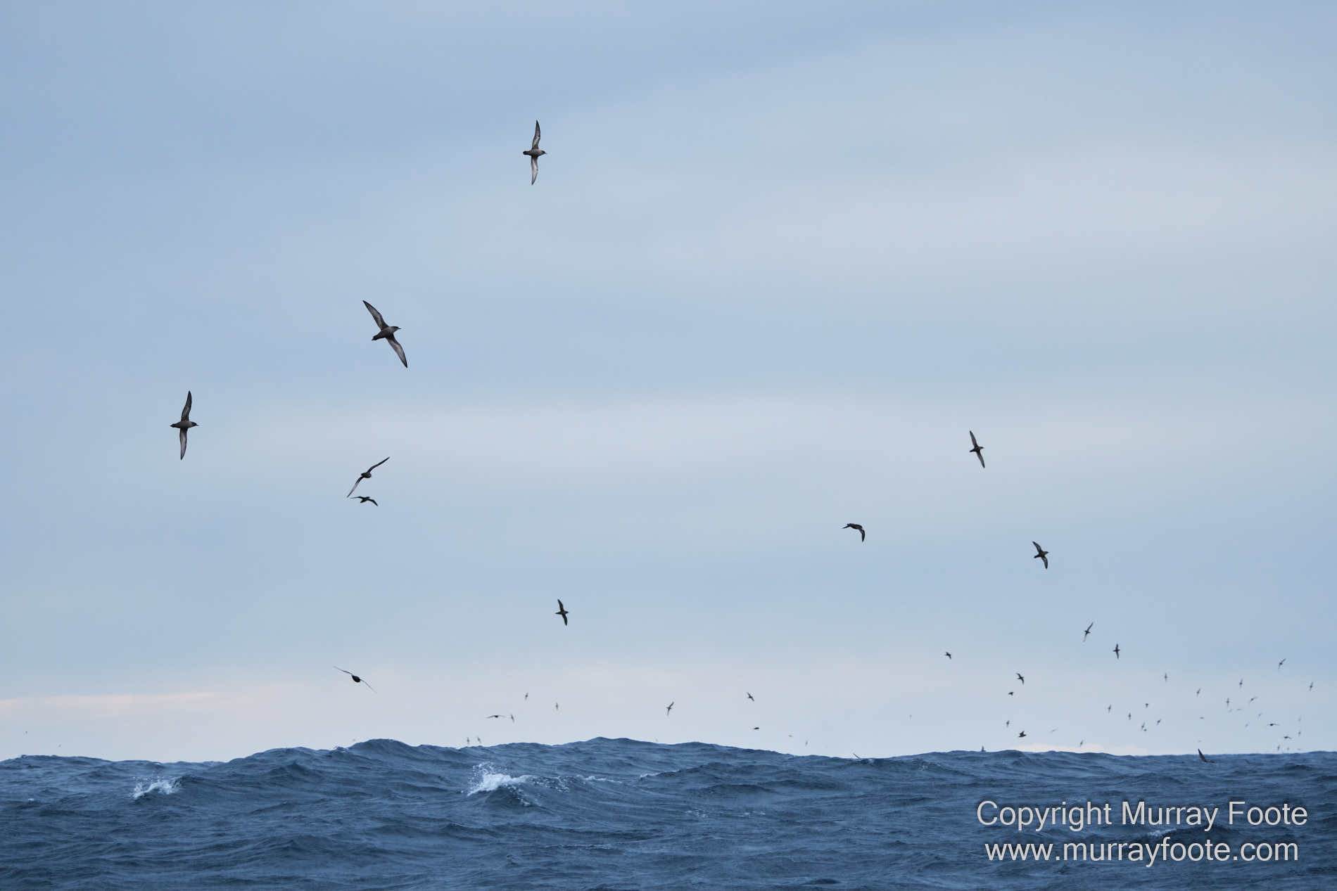
Lots of these birds wheeling in the sky, probably indicating a shoal of fish. I think these are terns but there are a dozen species to distinguish and I’m not going to try, especially at this distance.
. 
Last glimpse of Tasman Island lighthouse and keeper cottages, grabbed fleetingly from a rocking boat.
This was an unintended vertical panorama. The boat was rocking so much as we went past I kept missing but in the end I was able to add a few images together. From here we just headed back with too much spray for images.
. 
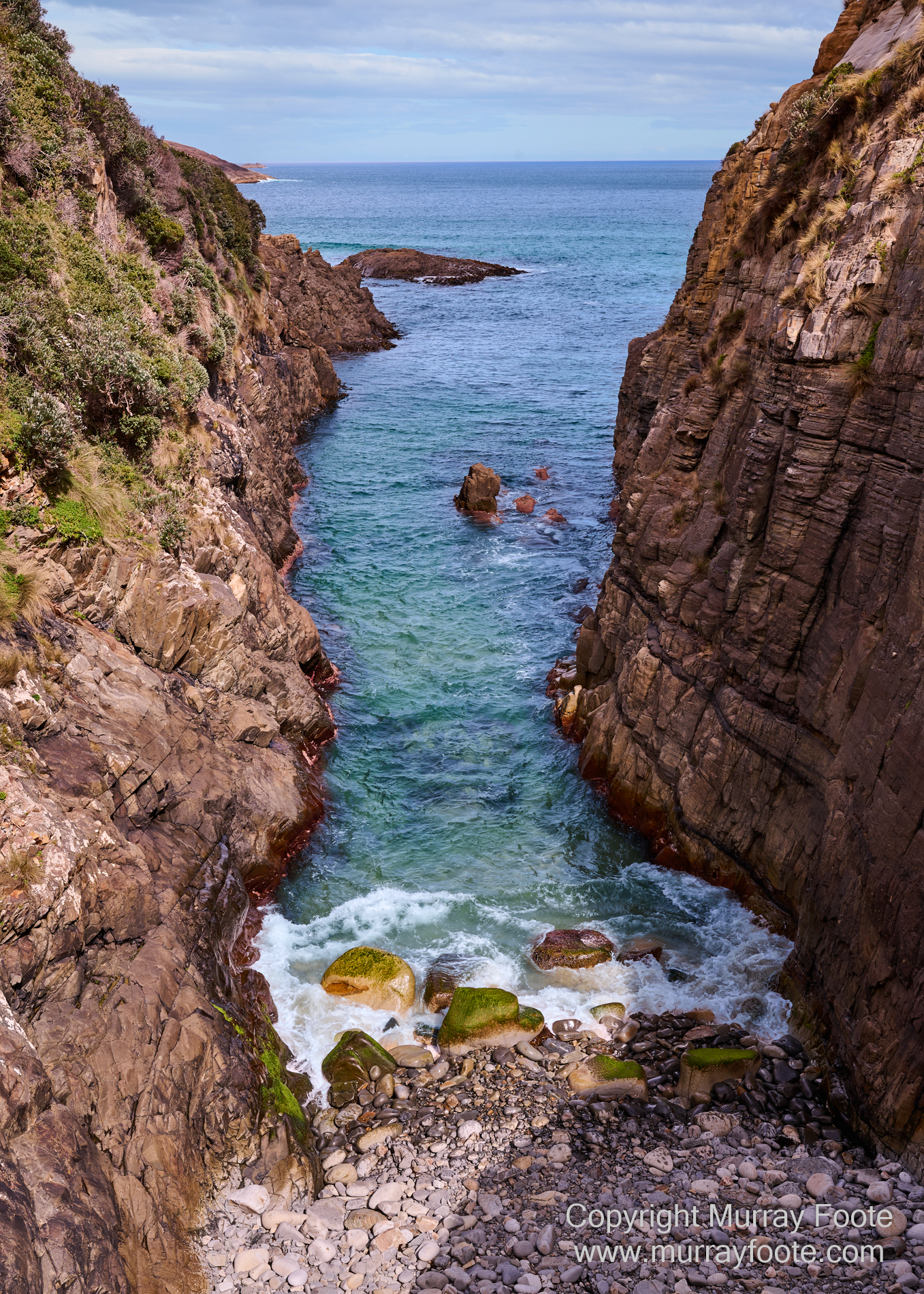
We’ve just finished the cruise and this is the blow hole near the end of Pirate’s Bay, also near where the boats left and returned.
.
. 
A wider view of the blow hole.
.
. 
View from Fossil Bay Lookout, not far from the blow hole.
.
. 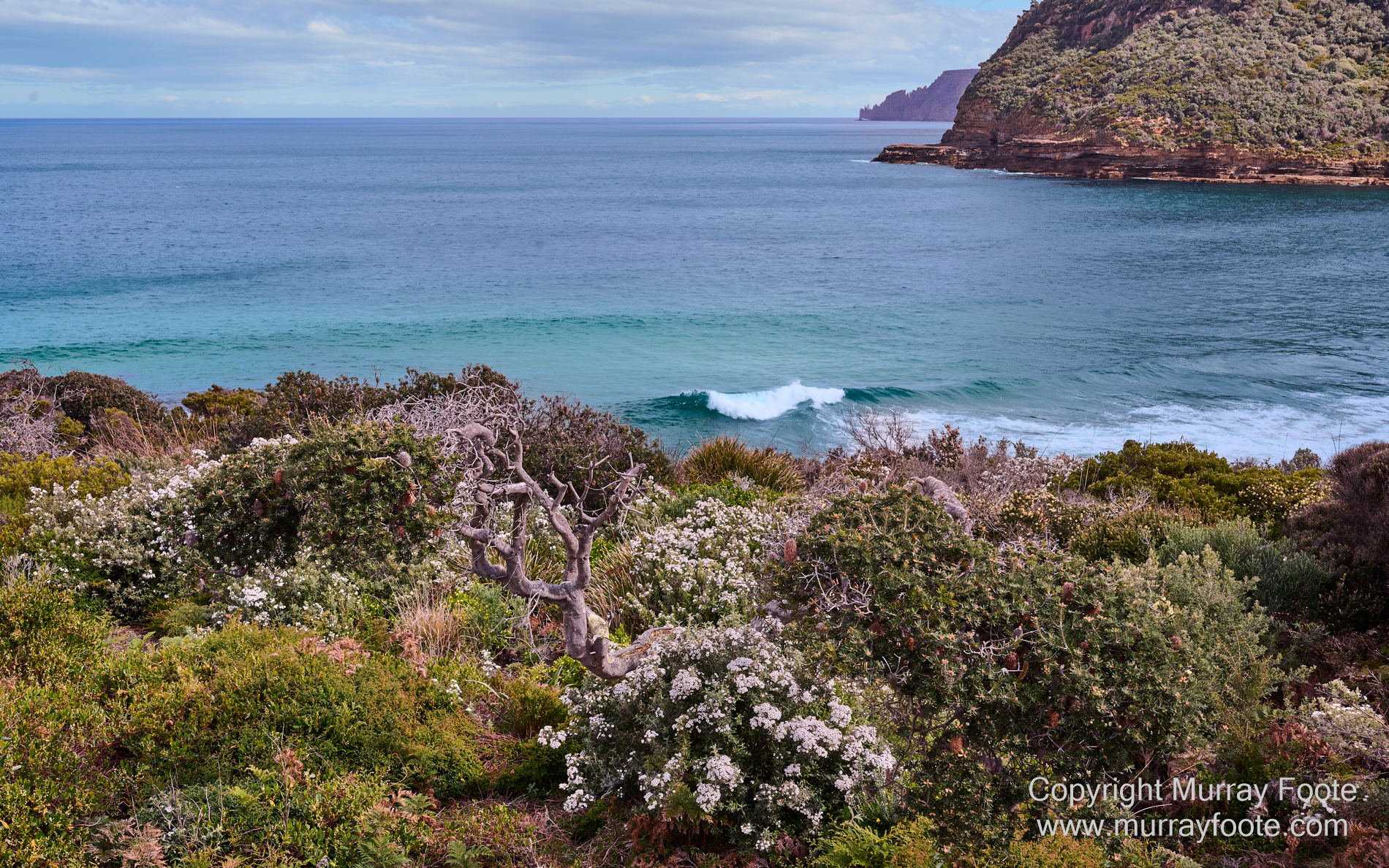
Also from the Fossil Bay Lookout path.
.
. 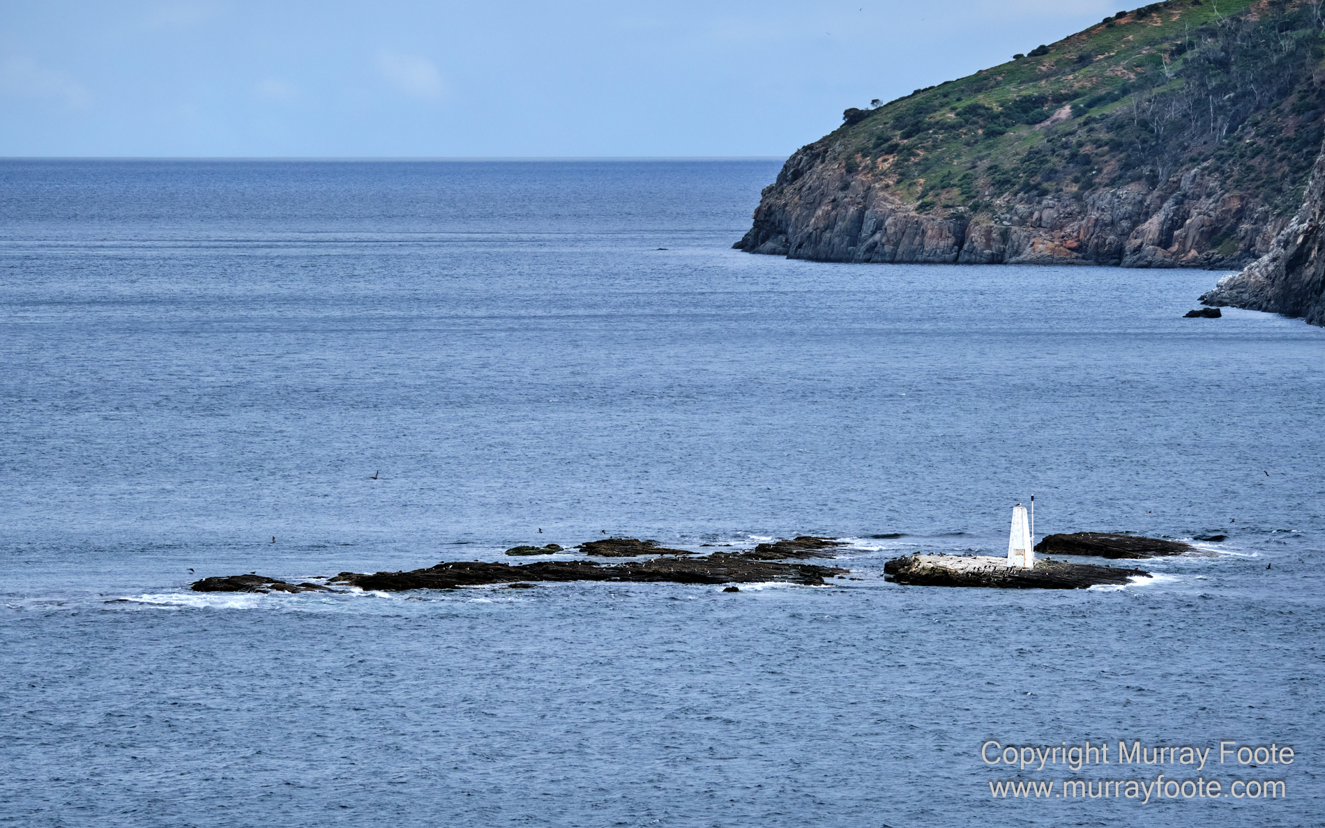
Much later and on the outskirts of Hobart, this is a beacon near Betsey Island from Goats Bluff lookout.
.
. 
From the same lookout, this is Iron Pot Lighthouse.
It was constructed in 1832 using convict labour making it the oldest lighthouse in Tasmania and is the oldest surviving tower in Australia. A stone hut was built for the keepers by 1858 and a two story house was built for the Head Keeper in 1884 but these were demolished in 1921 after the lighthouse was automated. The original derrick crane used to get supplies on the island is visible at the right of the island. In 1896, a huge storm caused both families to abandon the houses and seek shelter inside the lighthouse. A task for the next morning was removing kelp from the railings at the top of the lighthouse.
.
.
