Day 75. 13th September. Veiðivötn, Highlands, Iceland.
.
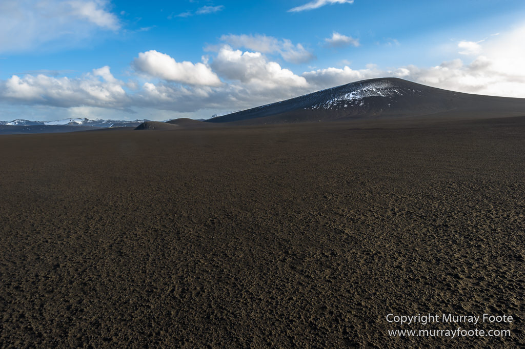
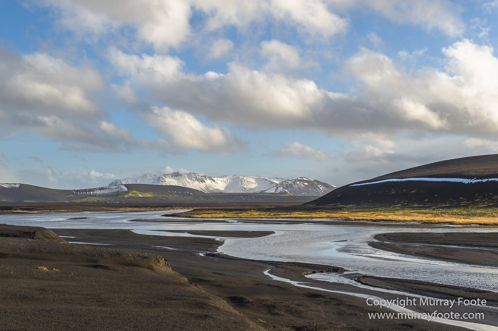
From Hrauneyfossar, heading towards Veiðivötn, over what appears to be a plain of volcanic mud.
.
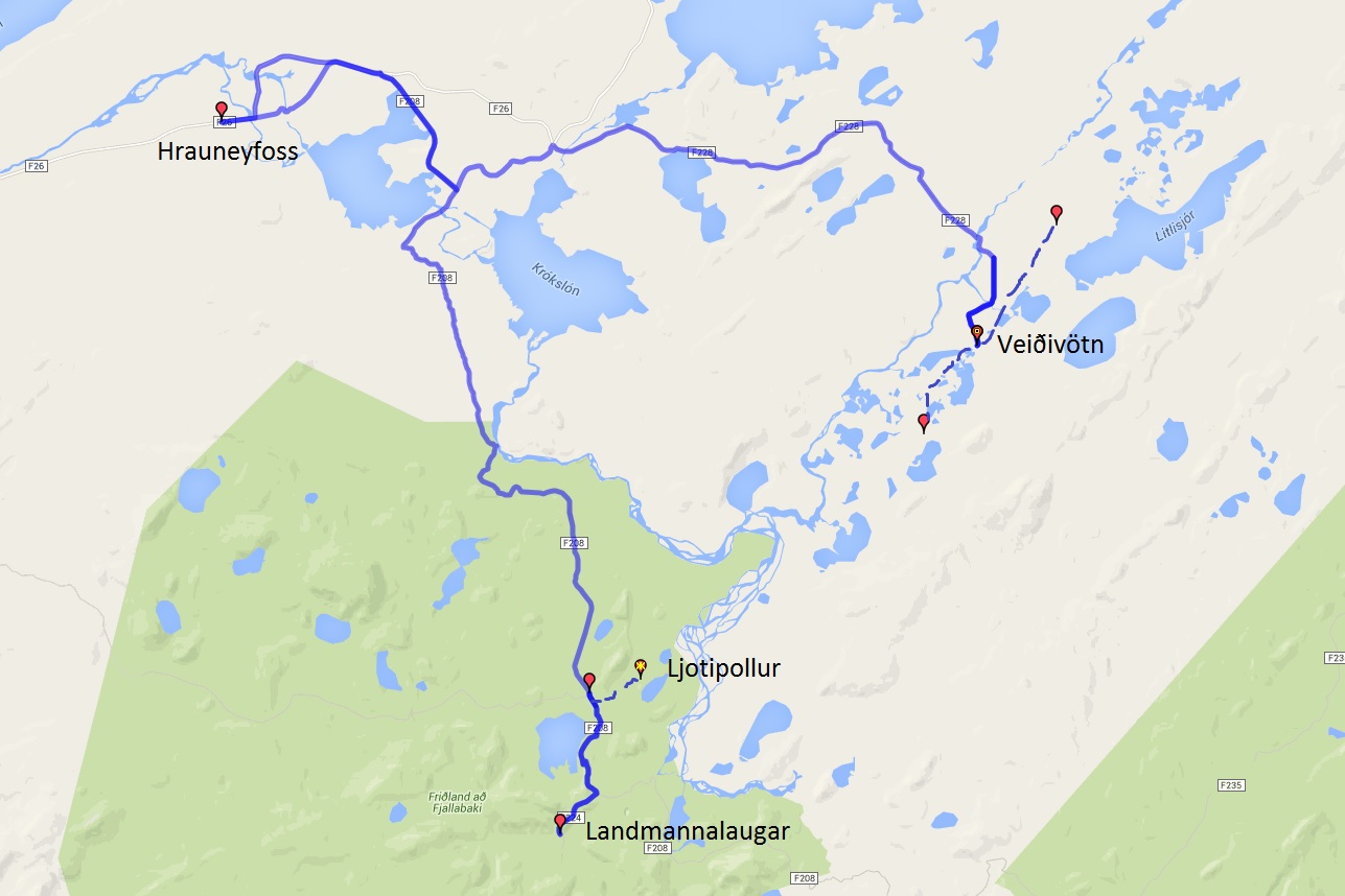
This is a map for the previous post as well as this one. In that post, I came in from the Landmannaleið route (not shown except the pin for the end point), briefly visited Ljotipollur, and went on south a short distance to Landmannalaugar. I then headed back along the road to Hrauneyfoss. In this post the images show views along the route from Hrauneyfoss to Veiðivötn. Dotted lines roughly show where I drove around on minor roads nead Veiðivötn.
.
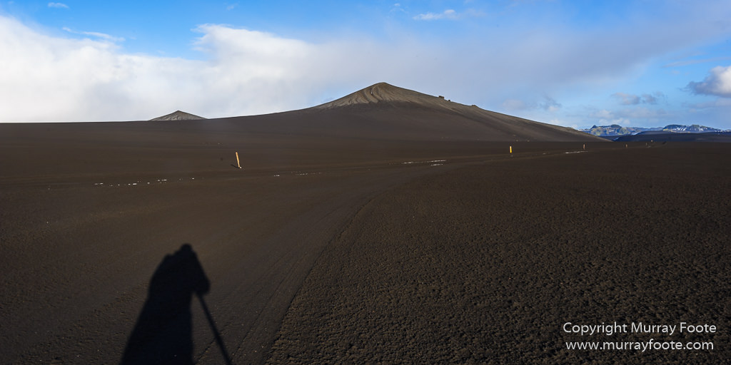
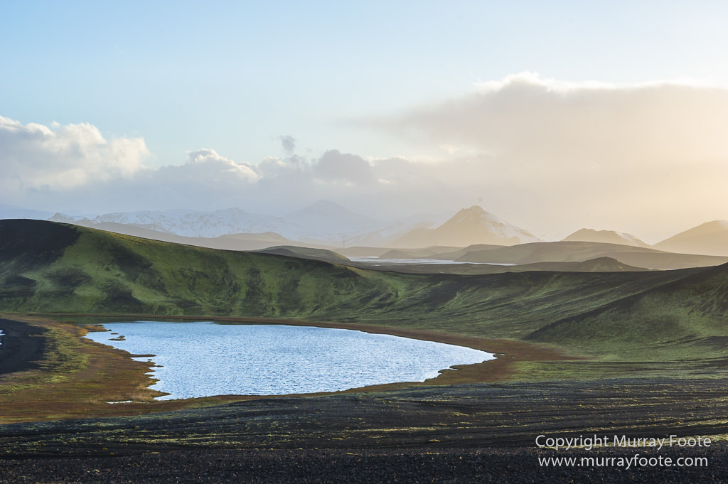
The shadows are lengthening.
.
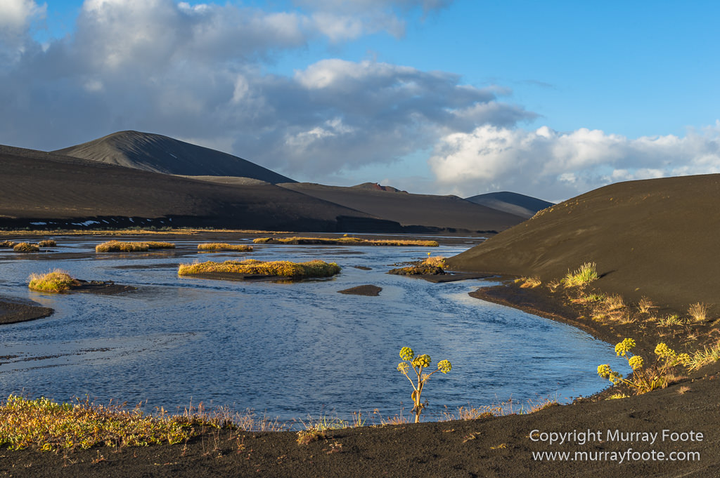
And here we are at Veiðivötn.
.
There is a small seasonal settlement here, though I did not photograph it. At the time I arrived they were just closing up for the end of the season
..
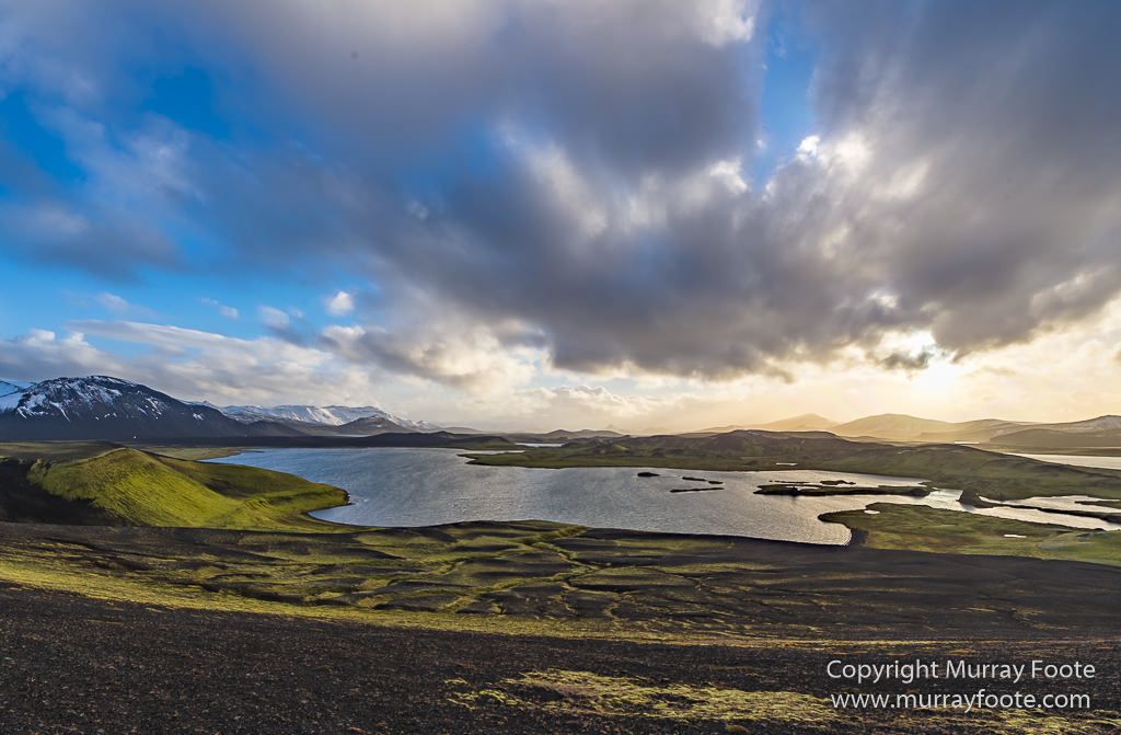
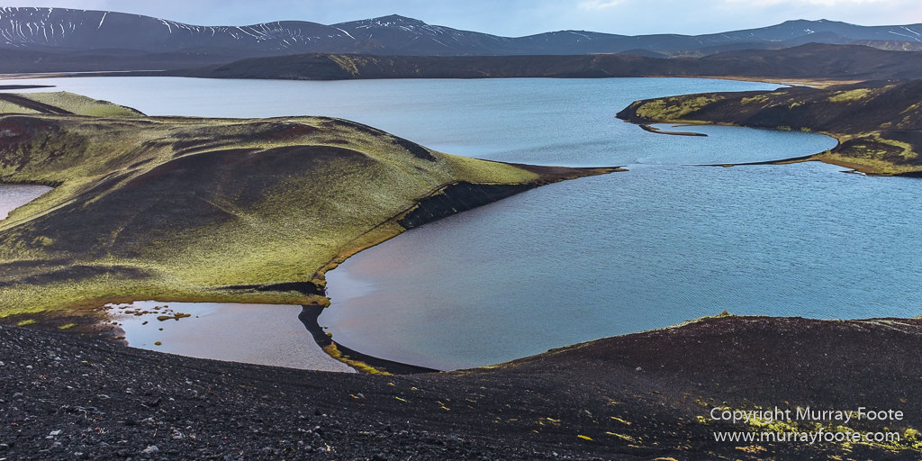
This lake is Skalavatn, recognisable by the distinctive islands.
.
 .
.
.
 .
.
.
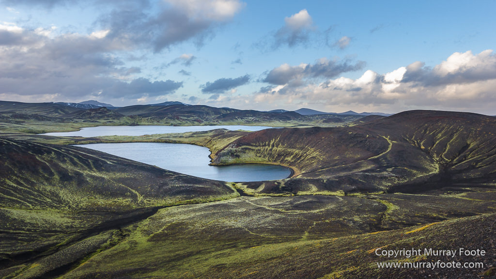
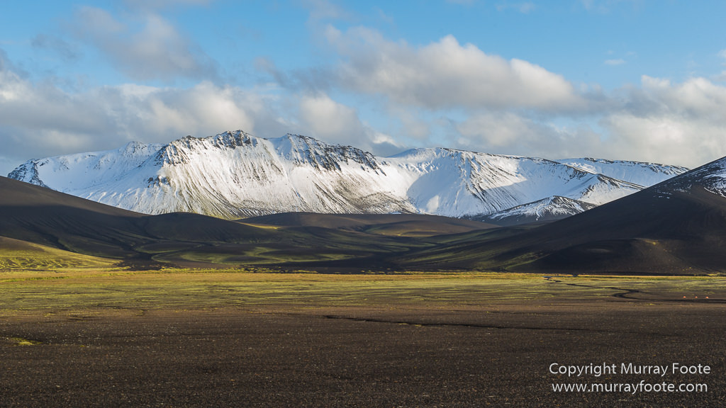
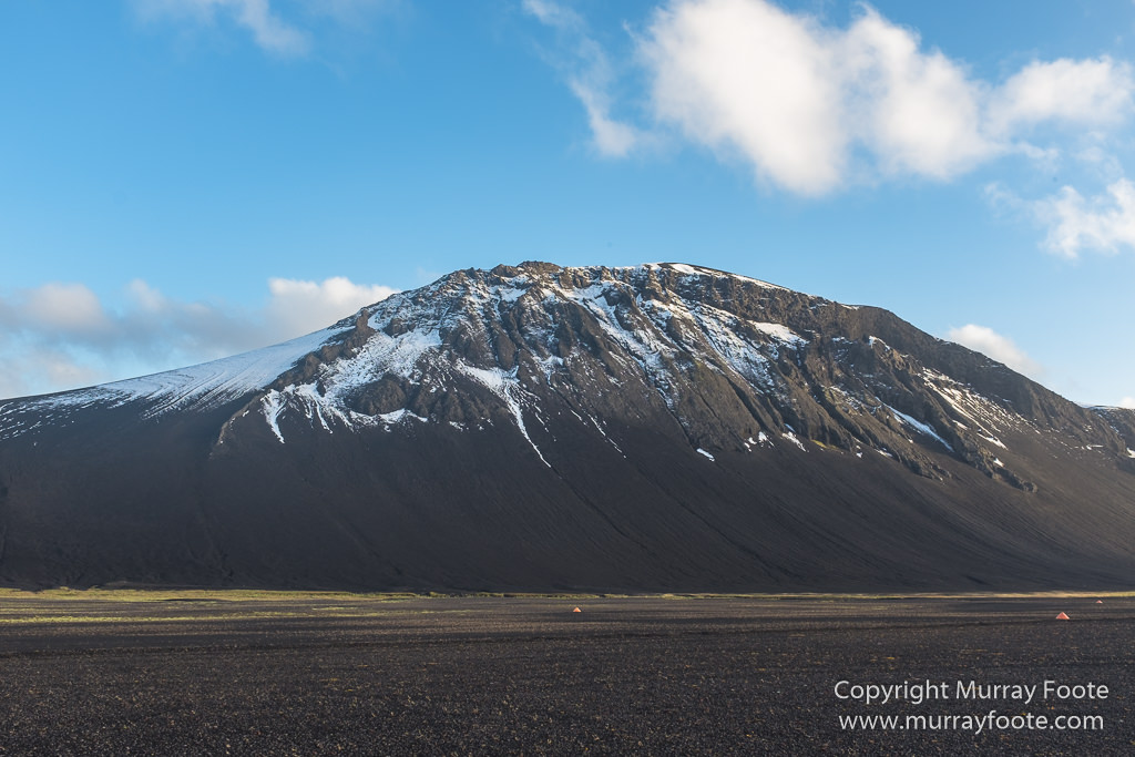
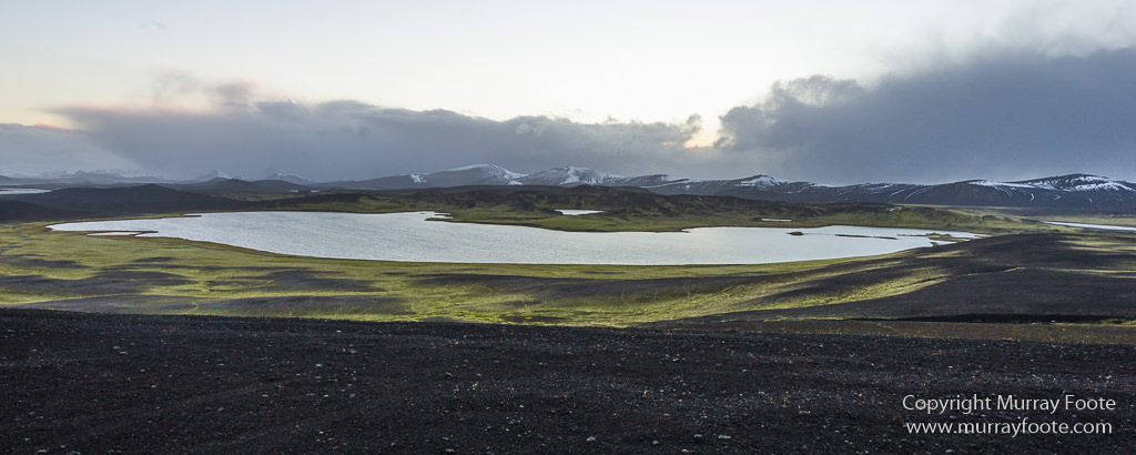
The whole area is a tangle of lakes in a volcanic basin that is also the fissure line of previous eruptions.
.
 .
.
.
It is probably the centre of trout fishing in the highlands, and was particularly so before some lakes in other areas were stocked.
.
 .
.
.
 .
.
.
