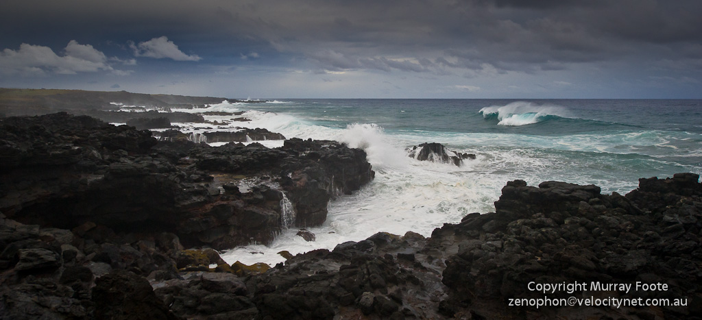
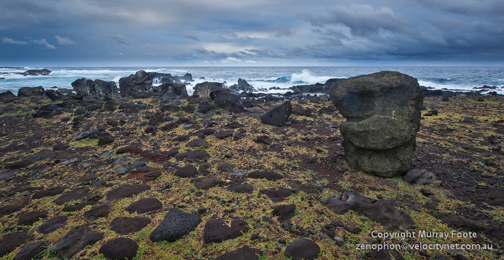
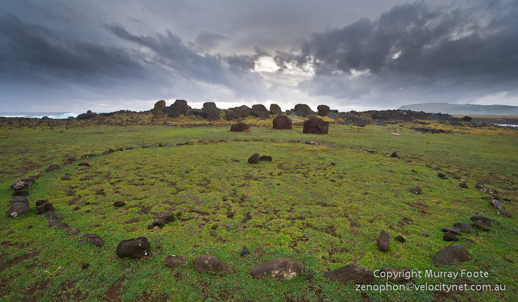
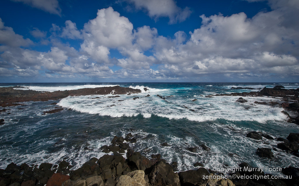
Late in the afternoon of the 26th, after we had visited Vinapu, we continued along the south coast to Ahu Hanga Poukura, Ahu Hanga Te’e O Vaihu and Ahu Akahanga, going half of the way to Tongariki before we ran out of light. Here are some images and brief comments in the captions.
As well as that, the following text of this post relates the experiences of the second group of Europeans to arrive on the island, Gonzales in 1770, and follows on from the First Contact discussion in the Hanga Taharoa post.

The back of Ahu Hanga Poukura (from the sea) showing one block much more eroded and therefore probably a different type of stone. The ahu is 100 metres long.
Google maps location for Ahu Hanga Poukura (Green arrow).
Second Contact: Gonzalez in 1770
Don Felipe Gonzales arrived at Easter Island in 1770 with up to 736 men and two ships. Gonzales’ log seems only to contain navigational details but there are two anonymous accounts, one probably by Don Francisco Antonio de Agüera y Infanzon (Chief Pilot) and another probably by Don Juan Hervé (Pilot). Gonzalez, incidentally, was 68 when he came to the island, was still sailing ships across the Atlantic at the age of 80 and died aged 90, still in the Spanish Navy.
As the ships approached Easter Island, about 12 kilometres south of the Poike Peninsula, Don Francisco Antonio observed many moai, presumably through a telescope. He talks of many moai inland as well as on the coast. This might mean that those inland moai were along the whole of the south coast, perhaps along the moai roads, but I suspect it is more likely that he was looking at Ahu Tongariki and the coast to the west of that, so that the inland moai were the moai of Ranu Raraku.
Gonzalez’ expedition landed at Anakena. As they rowed to the beach, “more than 800” Rapanui observed them from the shore.
… There must have been more than 800 people, divided in batches, all wearing cloaks of a yellow colour or white. There was not the least appearance of hostility, nor of the implements of war about them; I only saw many demonstrations of rejoicing and much yelling.
He also relates later of over 400 Rapanui visitors on board the frigate to the extent that they had to send some away to make way for more.
On shore, Antonio measured one of the moai and commented that there were larger ones on the east coast (such as the one at Ahu Te Pita Kura). They also found other moai “widely distributed about the countryside in the interior” that were somewhat smaller than those on the beach. Moai were still objects of worship.
The sculptural forms are called moay by the islanders, who hold them in great veneration, and are displeased when we approach to examine them closely. (Antonio)
They were also shown a human paperbark figure about four metres high, called a kopeka. They further observed numerous pyramidical ahu, burial sites capped with a skull-like white stone.
Intra-island warfare had clearly been taking place although, as with the earlier visit by the Dutch, the Rapanui were not hostile and produced no arms.
in some we observed sundry wounds on the body (due to obsidian spear points)
most of the natives on the island dwell in underground caves with narrow and inconvenient entrances, i.e. fortified against attack.

A closer view of Ahu Hanga Te'e O Vaihu with fallen moai and pukao (topknots). The ahu is 100 metres long by 12 metres deep.
The Spanish were on the island for five days and sexual encounters were certainly available.
… the women go to the length of offering with inviting demonstrations all the homage that an impassioned man can desire.
The log doesn’t say this was forbidden and it could be that such encounters occurred. Since the Dutch were only on shore for a few hours in 1722, this may mark the first point of contact for the Rapanui with infectious European diseases, from the common cold to syphilis.
Don Felipe Gonzales sent two launches to row and sail around the island and to map it. Don Juan Hervé was in one of these launches and provides an account of that voyage. Also, Don Francisco Antonio provides a short account of a launch voyage, probably of the other launch.
At one place Hervé encountered two small canoes, which he thought may be the only ones on the island.
We saw two little canoes that were coming out … with two men in each. … These canoes are constructed of five extremely narrow boards (on account of there being no thick timber in the country) about a “quarta” in width (nine inches or 23cm) ; they are consequently so crank that they are provided with an outrigger to prevent them from capsizing; and I think these are the only ones in the whole of the island.
The description of where they saw the canoes (half a league before Cape San Antonio) sounds as though they came out of Ana Kai Tangata, which fits our previous description of the cave:
In the era when wood was scarce, the Rapanui also used the cave as something like a boatshed, a place to build vaka ama, which were small canoes of sewn planks.

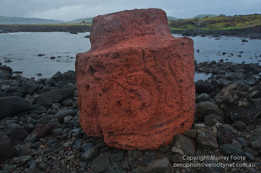
At the right end of Ahu Hanga Te'e O Vaihu, this looks to me very much like a mooring for a boat, with what could be a groove worn by mooring rope in the rocks below to the red scoria hook. Of course, this could be a relatively recent use of a fragment of an old pukao.
Hervé’s launch stayed overnight at a small cove which by the description appears to be near Vinapu, where today a small road comes down to the sea below the oil refinery. They report a cave with furrows “of various tints” where the Rapanui obtained their pigments. The men had been warned not to harass the Rapanui and on a walk of about nine kilometres, saw abundant cultivations.
… we stood in towards a smooth patch of foreshore about a league away to the N.E. of Cape San Francisco. (i.e. 4.2 kilometres from Orongo). Here we decided to bring up the night….
The officer, Don Cayetano de Langara, issued orders to our people that no one, under pain of a severe flogging, should accept any article from the islanders without giving something equivalent in return, or something of greater value than that which they received, since it was known there was a disposition to exchange articles; and such in fact was put in practice.
We walked about two leagues, (9 kilometres) and at that distance (throughout which many islanders accompanied us) we saw a plantain garden which stretched about a quarter of a league in extent, and was about half that distance in breadth. (equivalent to 1 x 0.5 kilometres). There were other small plantain gardens and several plantations and fields of sugar-cane, sweet potatoes, taro, yams, white gourds, and plants like those whose leaves are employed at the Callao for making mats. (Hervé)
By contrast, Antonio’s account suggests less abundant cultivation. This probably indicates the other launch visited other locations that may either have been less suited to agriculture or else were affected by warfare or hardship.
The fields are uncultivated save some small polts of ground, in which they sow beds of yuca, yams, sweet potatoes and several plantations of plantains and sugar cane…
Antonio also makes the unsurprising observation that wood was scarce.
… throughout the island not a single tree is to be found capable of furnishing a plank so much as six inches in width…
Antonio also describes the dwelling of an ariki (chief) which is the hare paenga as described earlier (eg Tahai Complex) and also the dwelling of an Ivi Atua (priest) located close to the ahu.
Others (whom I believe to be their ministers) occupy dwellings close to the statues; these are built of earth below, but with an entrance way or porch of very roughly hewn and clumsily set up stones, after the fashion of a wall, with a certain number of steps for passing from one platform or surface of ground to another on different levels.
On returning to the ship, Hervé compiled the following map from their measurements (click for larger size):
On the last day, a party journeyed from Anakena to erect three wooden crosses on the three small cones on the Poike Peninsula, a distance of about 10 kilometres. This journey is what the lower part of the map above represents, from right to left on that map (and roughly ESE in direction). The map shows moai (presumably representing intact ahu) near Ahu Hekii, Ahu Rai’i and Ahu Mahatua (the last being an ahu in Hanga Taharoa).
At the same time, a diversionary party of 230 men also went ashore proceeding to the West side of the island. This was so that huge crowds of onlookers would not impede erecting the crosses.
The Rapanui seem to have been suitably impressed by the religious rituals of the two Spanish priests who accompanied the crosses. Antonio reports that the women cried out Maca Maca as the priests walked past, incanting. I presume their call was actually Make Make (perhaps in the sense of “Praise be to God”) and this could be a marker of the gradual replacement of the traditional religion with the newer one of Make Make.
They seem to me to have ministers or priests for their idols; because I observed that on the day which we erected the crosses, when our chaplains went accompanying the holy images, clothed in their cassocks and “pelliz”, chanting the litanies, numbers of natives stepped forward on the paths and offered their cloaks, while the women presented hens and pullets and all cried “Maca Maca”, treating them with much veneration until they had passed beyond the rocks by which the track they were following was encumbered.
When the Spanish had planted the crosses, they conducted a ceremony whereby Spain claimed the island. They obtained “signatures” of available Rapanui, presumably to demonstrate their acquiescence, though the Rapanui can have had no idea what they were affixing their marks to.



Pingback: 27th April: Easter Island (Hanga Piko) | Murray Foote
Pingback: 27th April: Easter Island (Ana Te Pahu) | Murray Foote
Pingback: 27th April: Easter Island (Ahu Runga Va’e and Ahu Hanga Te Tenga) | Murray Foote
Pingback: Easter Island Wrapup and Contents | Murray Foote
Pingback: Itinerary of Journey to Patagonia, Antarctica and Easter Island | Murray Foote